EN

Petzeck

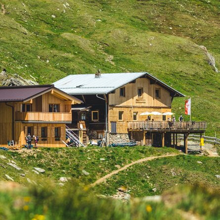
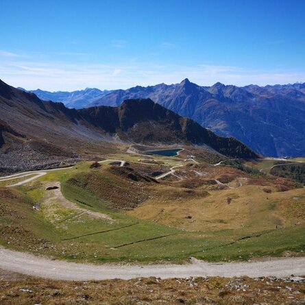
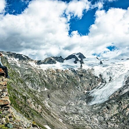
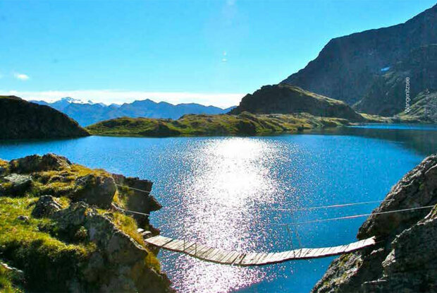
The Petzeck is the highest mountain in the Schobergruppe and yet technically one of the easier three-thousand-metre peaks in this rugged mountain range. The ascent leads past Carinthia's largest mountain lake, the dreamily situated Wangenitzsee and Kreuzsee.

The most important at a glance

distance
16.6 km
altitude meters uphill
🔋
1690 m
altitude meters downhill
🔋
137 m
walking time uphill
6 h
walking time downhill
4 h
total walking time
10 h
highest point
🞍
3270 m
difficulty
🞽
difficult
fitness:

* * * * *

🞙🞙🞙🞙🞙

technique:

* * * * *

🞙🞙🞙🞙🞙

public transport:

Mondays and Thursdays with the hiking bus to the Seichenbrunn car park.

parking:

Seichenbrunn car park

starting point:
Seichenbrunn car park
destination point:
Petzeck
best season:
MAY, JUN, JUL, AUG, SEP

arrival

Parking spot

Car park Seichenbrunn

altitude profile

Pdf file

Gpx file

Interactive map

Current weather conditions

Gewitter-00-05.png

31°C/88°F °C

Description

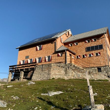
From the Seichenbrunn car park, cross the Debantbach to the right and follow the well-marked trail via the Niedere Seescharte between Kreuzsee and Wangenitzsee to the Wangenitzseehütte. From there, follow the marked trail first in an easterly direction past a climbing section (wire rope insurance), then in a northerly direction on a partly steeply ascending trail, finally crossing glacier remains on the summit ascent to the highest peak of the Schobergruppe.

show the overview
Newsletter

Subscribe to our newsletter and receive the best tips every month for current offers, mountain tours, events and much more.