EN

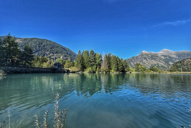
Hiking tour Oblasser Stausee 1.052m

An easy hike at the beginning of the Kals valley

The most important at a glance

distance
2.66 km
altitude meters uphill
🔋
266 m
altitude meters downhill
🔋
258 m
walking time uphill
1 h
walking time downhill
1 h
total walking time
2 h
highest point
🞍
1054 m
difficulty
🞽
easy
fitness:

* * * * *

🞙🞙🞙🞙🞙

technique:

* * * * *

🞙🞙🞙🞙🞙

public transport:

Bus line 952 or 951

parking:

by car
Parking Unterpeischlach/Snack bar

starting point:
Parking in Unterpeischlach at the snack bar
destination point:
Parking in Unterpeischlach at the snack bar
best season:
MAR, APR, MAY, JUN, JUL, AUG, SEP, OCT, NOV

arrival

Stop

Unterpeischlach Kalserbachbrücke

altitude profile

Pdf file

Gpx file

Interactive map

Current weather conditions

Sonne-01.png

20°C/68°F °C

Description

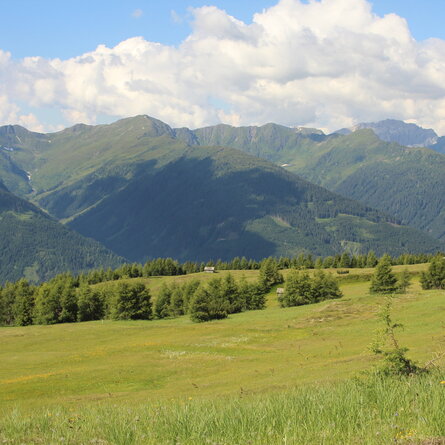
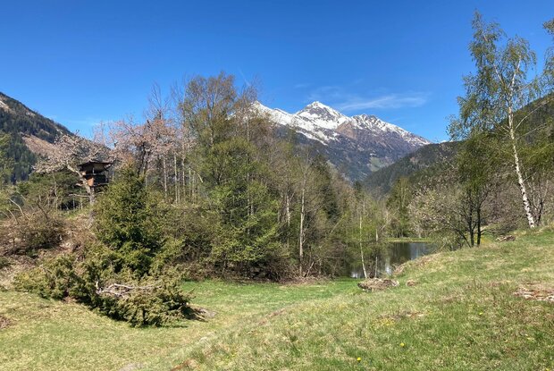
A delightful hike through mixed woodland up to the reservoir on the Kalser Bach. A stunning panoramic view from the lake.

show the overview
Newsletter

Subscribe to our newsletter and receive the best tips every month for current offers, mountain tours, events and much more.

en