EN

Hike Obstansersee Hütte – Pfannspitze 2.678m

The most important at a glance

distance
14.4 km
altitude meters uphill
🔋
1250 m
altitude meters downhill
🔋
1250 m
walking time uphill
3:30 h
walking time downhill
3 h
total walking time
6:30 h
highest point
🞍
2678 m
difficulty
🞽
average
fitness:

* * * * *

🞙🞙🞙🞙🞙

technique:

* * * * *

🞙🞙🞙🞙🞙

public transport:

Mit dem Bus bis zur Haltestelle "Kartitsch Gemeindeamt"

parking:

Mit dem Auto bis zum Sportzentrum Kartitsch
Parkplatz Sportzentrum Kartitsch

starting point:
Sport- und Freizeitzentrum
destination point:
Pfannspitze
best season:
JUN, JUL, AUG, SEP

arrival

Parking spot

Car park sport centre Kartitsch

altitude profile

Pdf file

Gpx file

Interactive map

Current weather conditions

Sonne-01.png

20°C/68°F °C

Description

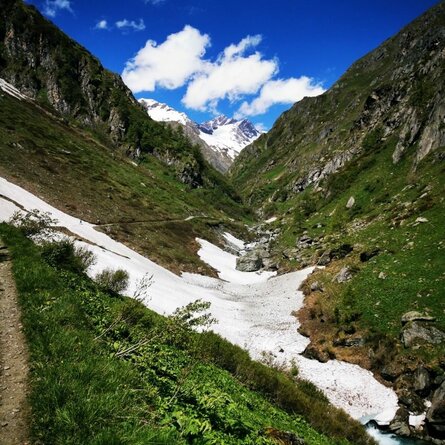
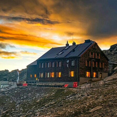
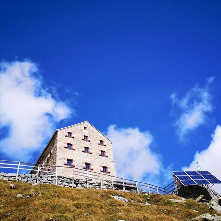
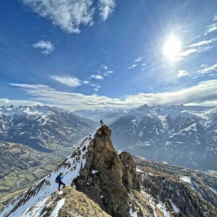
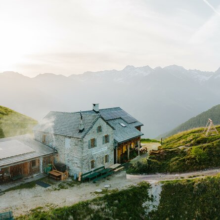
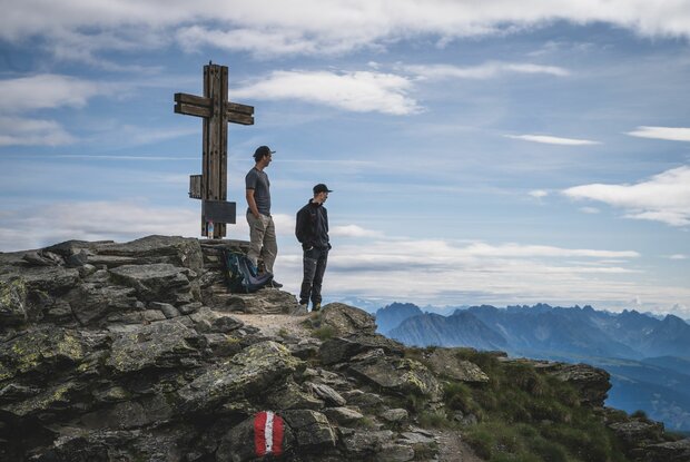
The sports and leisure centre is the starting point. Hike in a southerly direction from there via route 466 to Winklertal and to the steep walled head of the valley. Hairpin bends proceed up to Obstanser See and to Obstansersee Hütte. After a rest at Obstansersee Hütte bear right, heading past the lake, on a steep climb up to the Pfannspitze.

show the overview
Newsletter

Subscribe to our newsletter and receive the best tips every month for current offers, mountain tours, events and much more.

en