EN

Circular hike via Bergen & Rals to Obertilliach

The most important at a glance

distance
5.2 km
altitude meters uphill
🔋
230 m
altitude meters downhill
🔋
230 m
total walking time
1 h
highest point
🞍
1520 m
difficulty
🞽
easy
parking:

Mit dem Auto nach Obertilliach
Parkplatz Obertilliacher Bergbahnen

best season:
APR, MAY, JUN, JUL, AUG, SEP, OCT
route typ:
circuit family tour

altitude profile

Pdf file

Gpx file

Interactive map

Current weather conditions

Sonne-01.png

20°C/68°F °C

Description

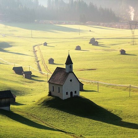
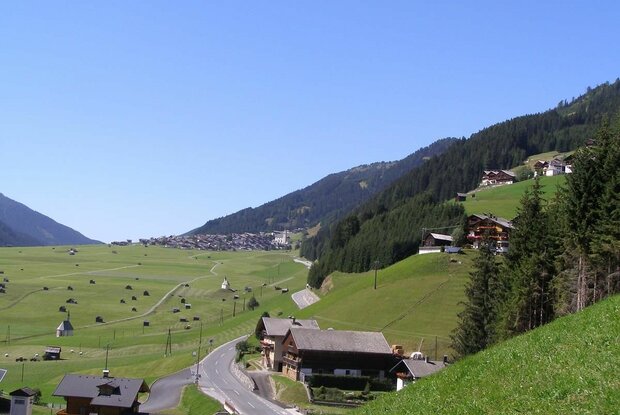
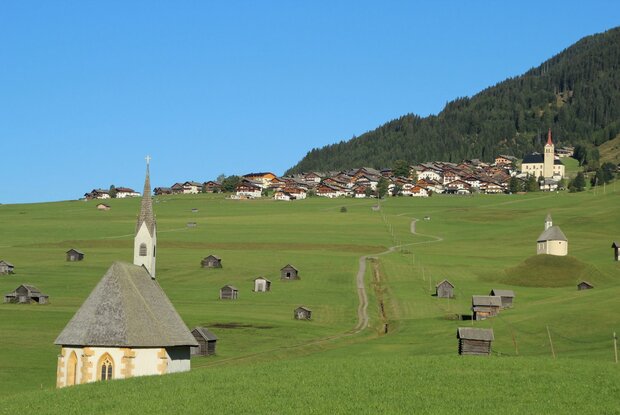
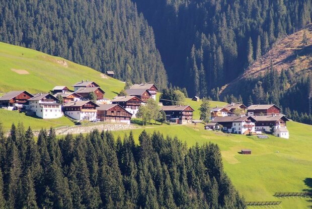
Easy circular hike trough the fields of Obertilliach. After passing the two chapels called St.Helena and St.Nikolaus we have arrived at a another part of Obertilliach called "Bachhäusl". Now we have to follow a trail which leads us directly to Rals. If you feel the urge to eat or drink something you can do that at the "Jausenstation Mitterdorfer". After that, we follow a trail until we reach Obertilliach again. 

show the overview
Newsletter

Subscribe to our newsletter and receive the best tips every month for current offers, mountain tours, events and much more.

en