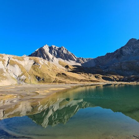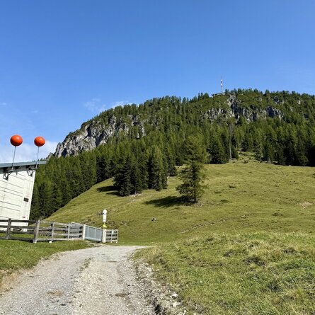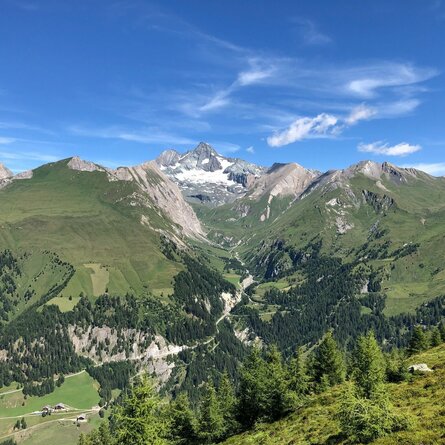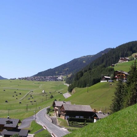
Starting from the „ Seichenbrunn“ car park, follow the marked trail no. 942 to the Trelebitschalm. From here, continue southwards (right side of the stream), following the marked trail which rises gently. After a short time, cross to the left side of the stream and reach the junction to the Neualplseen. Now continue following the signposts towards „ Trelebitschtörl". This trail climbs gently at first, later becoming steeper and steeper until you reach the beautifully situated Trelebitschsee (2336m). After a short rest, hike a little further along the lake, but then leave the marked path that leads towards Trelebitschtörl!. Here, orient yourself by a large flat stone with a red directional arrow that is now only poorly marked. From here on, markings are no longer very numerous and require good orientation skills. You now climb steeper and steeper until you reach the foot of the south flank of the Trelebitschkopf.. Here you can easily reach the rocky ridge. From here, cross into the west flank of the Trelebitschkopf and shortly reach the ridge to the small Alkuser Rotspitze. Then continue along the connecting ridge. (! upright stone slabs). Frequently changing sides of the ridge, you now hike to the highest point of the small Alkuser Rotspitze (2869m). From here, the ridge to the Alkuser Rotspitze is clearly visible. Following the tracks, you will reach the southeast ridge. This leads steeply upwards for a good 200 metres in altitude over rocky boulder terrain to the summit of the Alkuser Rotspitze (3053m). The view is truly „breathtaking“.
Menu