Johannishütte No. 131

The most important at a glance

distance
16.1 km
altitude meters uphill
🔋
780 m
altitude meters downhill
🔋
780 m
highest point
🞍
2114 m
difficulty
🞽
average
circuit
🞍
no
fitness:

* * * * *

🞙🞙🞙🞙🞙

technique:

* * * * *

🞙🞙🞙🞙🞙

public transport:

Prägraten a.G. Hinterbichl

parking:

Parkplatz Hinterbichl

starting point:
Prägraten-Hinterbichl (1335m)
destination point:
Johannishütte (2130m)
best season:
APR, MAY, JUN, JUL, AUG, SEP, OCT

arrival

Stop

Prägraten a. G. Hinterbichl

Parking spot

Car park Hinterbichl 1.380m

altitude profile

Pdf file

Gpx file

Interactive map

Current weather conditions

Sonne-03.png

2°C/36°F °C

Description

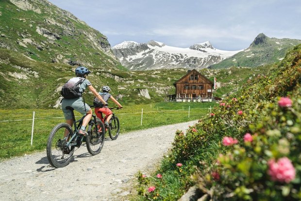
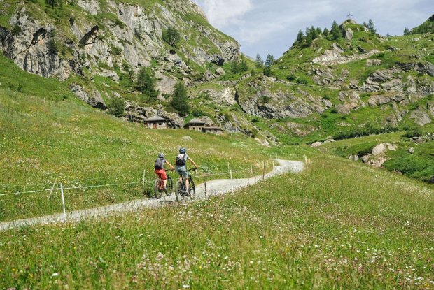
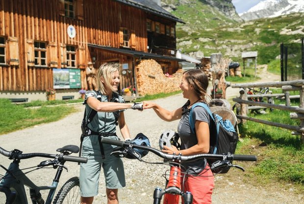
The route proceeds from Gasthof Islitzer via the road to the Groderhof, continue straight on at the last bend to the left and then head across the bridge to the Wiesenkreuz (Schranken), continuing from there via Venedigerbrücke and in steep bends to the Gumpachkreuz. From here the route proceeds in a lesser gradient past Ochsnerhütte to the finish area at Johannishütte (open from mid-June until the start of October).

Newsletter

Subscribe to our newsletter and receive the best tips every month for current offers, mountain tours, events and much more.