Dolomitenhütte

The most important at a glance

distance
15 km
altitude meters uphill
🔋
935 m
altitude meters downhill
🔋
935 m
highest point
🞍
1616 m
difficulty
🞽
average
circuit
🞍
no
fitness:

* * * * *

🞙🞙🞙🞙🞙

technique:

* * * * *

🞙🞙🞙🞙🞙

public transport:

Take the bus to the bus stop "Tristach Keilspitzweg".

parking:

car park sports field Tristach

starting point:
sports ground, Sportplatz Tristach
destination point:
hut, Dolomitenhütte
best season:
MAY, JUN, JUL, AUG, SEP

arrival

Parking spot

Parkplatz Sportplatz Tristach

altitude profile

Pdf file

Gpx file

Interactive map

Current weather conditions

Sonne-03.png

14°C/57°F °C

Description

With a nearly continuous gradient (ca. 13 %), this route on a tarmac road leads to the urn-off to Lake Tristacher See and then on to the Kreithof inn on 1,047 m.

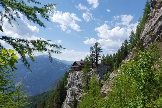
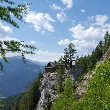
Passing by the toll plaza, the road leads all the way to mountain lodge Dolomitenhütte on 1,616 m, into the heart of the Lienz Dolomites. Before you return, it’s worth making a stop at the mountain lodge where - apart from the culinary delights - you should definitely also enjoy the magnificent view.
Newsletter

Subscribe to our newsletter and receive the best tips every month for current offers, mountain tours, events and much more.