Skip to content

Hiking tour to Clarahütte

The most important at a glance

distance
14.2 km
altitude meters uphill
🔋
645 m
altitude meters downhill
🔋
630 m
walking time uphill
3 h
walking time downhill
2:30 h
total walking time
5:30 h
highest point
🞍
2037 m
difficulty
🞽
average
fitness:

* * * * *

🞙🞙🞙🞙🞙

technique:

* * * * *

🞙🞙🞙🞙🞙

starting point:
Parkplatz Ströden
destination point:
Parkplatz Ströden
best season:
JUN, JUL, AUG, SEP

arrival

Parking spot

Car park Ströden 1.400m

altitude profile

Pdf file

Gpx file

Interactive map

Current weather conditions

Sonne-02.png

21°C/70°F °C

Description

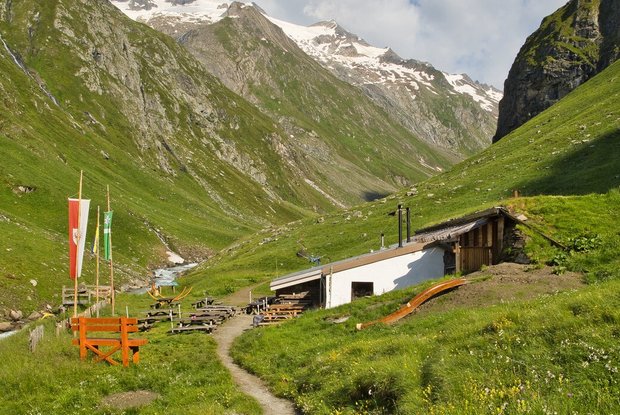
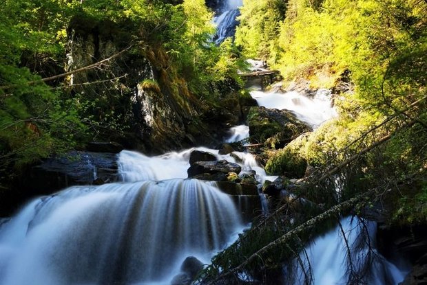
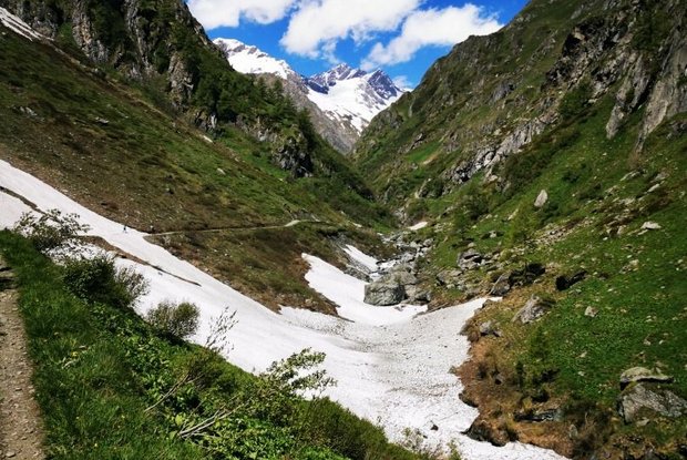
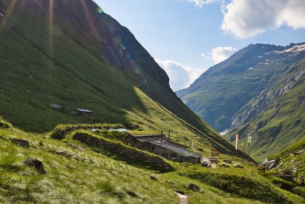
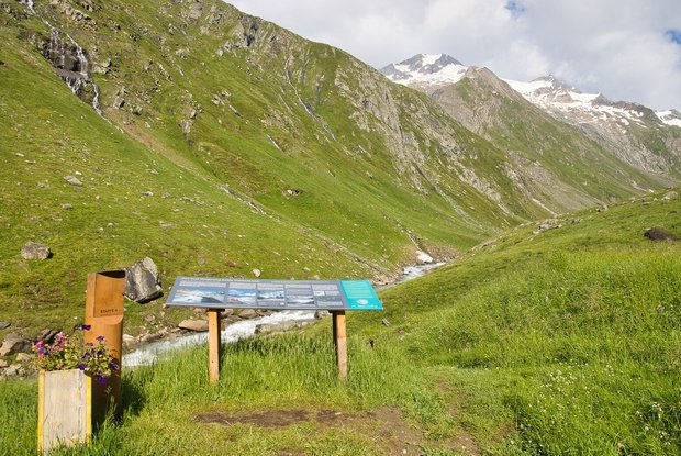
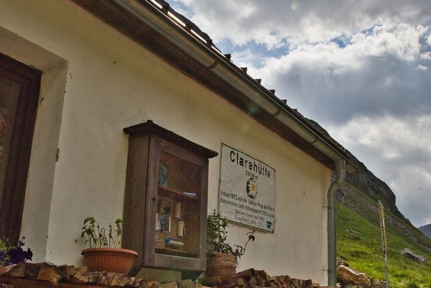
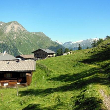
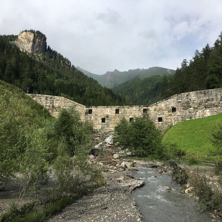
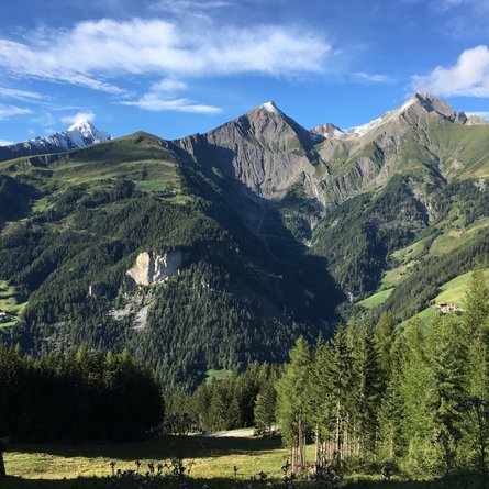
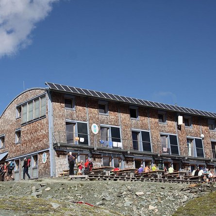
This beautiful hike’s starting point is Ströden carpark. First you walk along the broad driveway all the way to Islitzeralm where a hiking path to the Umball Waterfalls begins on the right. Then follow the path which features a few stages until you get to a big meadow. Here the path branches off. Follow the path on the left all the way to Clarahütte. Here you can enjoy the breath-taking view onto Rötspitze from the sun terrace above the glacial stream while you’re having a snack or coffee and cake.

show the overview
Newsletter

Subscribe to our newsletter and receive the best tips every month for current offers, mountain tours, events and much more.

Title

Text