Moosrunde Matrei

The most important at a glance

distance
4.1 km
snowed
no
difficulty
🞽
average
start altitude
...🔋
1500 m
destination altitude
🞍
1500 m
altitude meters uphill
🔋
30 m
highest point
🞍
1520 m
barrier-free
🅃
no
biathlon
🅔
no
cross country seal of quality
no
fitness:

* * * * *

🞙🞙🞙🞙🞙

technique:

* * * * *

🞙🞙🞙🞙🞙

parking:

Follow Felbertauernstraße until you reach the turnoff for Matreier Tauernhaus. Then park at Tauernhaus.


Car park Matreier Tauernhaus
best season:
JAN, FEB, MAR, DEC
state: closed

arrival

Parking spot

Car park Matreier Tauernhaus 1.510m

altitude profile

Pdf file

Gpx file

Interactive map

Current weather conditions

Sonne-02.png

18°C/64°F °C

state: closed

Description

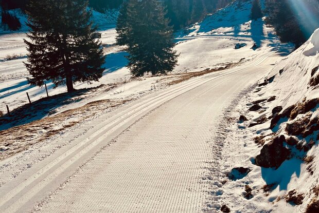
The varied Moosrunde trail starts at the Tauernhaus valley exit and initially runs alongside the Tauernhausrunde trail before branching off to the right after approx. 500 metres and running along several bridges with romantic barns along the Tauernbach stream. At the easternmost end, you cross a bridge and head back into the valley on the other side. After the trail briefly swings back into the open meadows, there is an ascent into the Löppwald forest (if you want to save yourself the climb and the rapid descent, you can take a shortcut to the right via a variant in the flat field). After the descent, the trail loops back and heads out of the valley again along the Tauernbach stream until you reach the first bridge from the outward journey. From here, it's a short stretch with oncoming traffic back to the Tauernhaus.

show the overview
Newsletter

Subscribe to our newsletter and receive the best tips every month for current offers, mountain tours, events and much more.