Spring Hikes: The First Summit Conquests of the Season

After a long, cold winter, you’re probably already longing for spring. Nature is slowly beginning to awaken, the sun’s rays are growing stronger, and the snow on the mountain ranges is slowly starting to melt. Are you already feeling that tingle in your feet, and can’t wait to finally get back on your feet and stand atop one of the many peaks in Osttirol? As long as the hiking season on the highest mountains is still a ways off—and for the Glockner, Venediger, and others, that usually lasts until July—the alpine pastures, lakes, and waterfalls in Osttirol are wonderful alternatives, as are the hikes in Osttirol’s valleys. But if you still want to climb a peak early on and experience nature’s spring awakening from the very top in a particularly intense way, the following summit tours are just right for you. These peaks all share the same characteristics: they’re sunny, offer a breathtaking panoramic view of the mountains and valleys of Osttirol, and are usually accessible starting in early to mid-May.

Planning and Safety

As with all mountain hikes, planning and safety are top priorities. Even though the increasingly mild temperatures in the valley make you want to get outside, you need to be especially careful on spring summit hikes. In addition to monitoring snow and weather conditions, having the right gear will help you on your first mountain hike of the year. Some trails at higher elevations are likely still covered with patches of snow, so hiking poles and crampons are very helpful. Temperatures at higher elevations can often still be very low, so it’s important to have appropriate extra clothing and warm gear on hand. And since most alpine pastures and huts are still closed, it’s important to bring enough food and, above all, plenty of fluids . If you’re unsure, book a guided hike with the Osttirol Mountain and Ski Guides.


A View as a Reward: Spring Hike to Strasskopf (2,401 m)

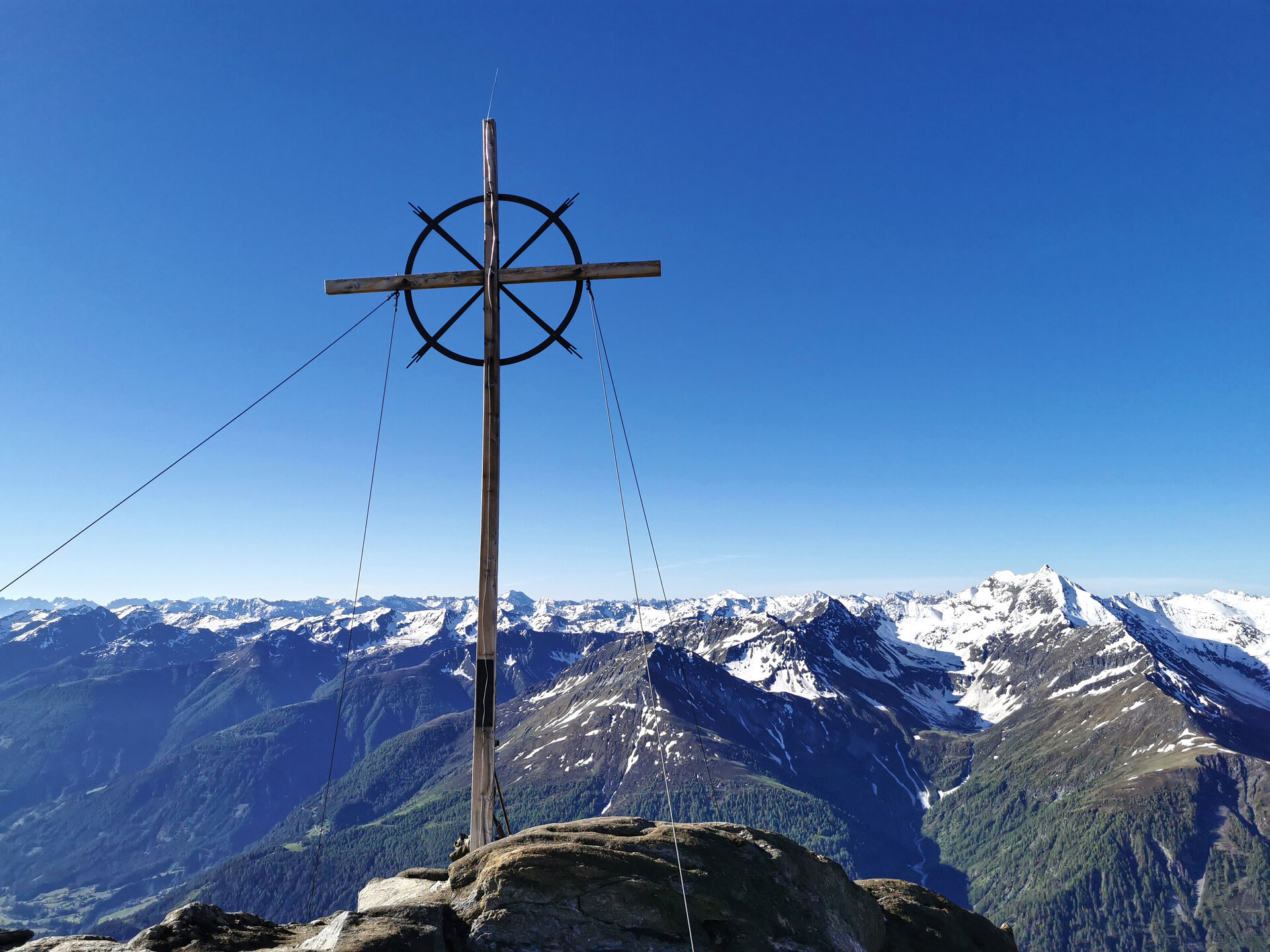
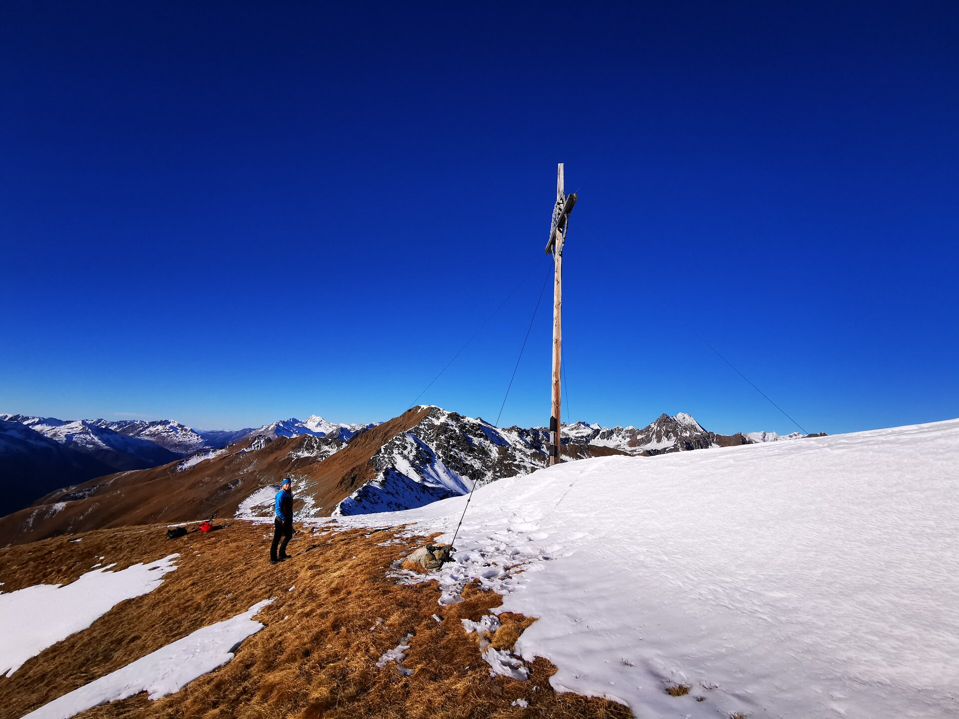
A relatively easy hike takes you up the Strasskopf in the Schober Group. The hike takes about 3 hours, making it ideal to wait out the cooler spring temperatures in the morning and set out around noon. A toll road takes you to the Roaner Alm, the starting point of your spring summit hike. It’s always worth taking a short break every now and then to let your gaze wander over the surrounding peaks. After climbing about 500 meters in elevation and walking for just under two hours, you’ll reach the summit cross. From there, enjoy a breathtaking view of the Debant Valley in the Nationalpark Hohe Tauern, the Lienzer Dolomiten, and the Kreuzeck Group. Once your stomach starts growling and you need to replenish your energy, it’s worth stopping at the Gasthaus Schöne Aussicht after the descent. The panoramic view over the Lienz valley floor, far into the surrounding valleys, and of the town of Lienz is truly unique. When you take a seat on the sun terrace, you’re not only treated to views of the Lienzer Dolomiten but also to excellent game dishes made from locally hunted game, such as saddle of venison, game goulash, or game steak—a well-deserved finale to a scenic spring hike.

Strasskopf 2.401

starting point:
Schöne Aussicht
destination point:
Parkplatz Schöne Aussicht
highest point:
2401 m
total walking time
3:30 h
distance
5.1 km
🔋
altitude meters uphill
484 hm
🞽
difficulty
average

Family-friendly with panoramic views: Spring mountain hike to Golzentipp (2,317 m)

The entire sunny side of the Gailtal Alps is ideal for beautiful and accessible spring mountain hikes. We’ve selected the moderate hike up to the Golzentipp, Obertilliach’s local mountain, for you. First, you’ll follow the paved road to the northern end of the village, then take the farm road running parallel to the Stubenlift, which eventually branches off to the left toward the “Lärchen.” Your gaze wanders back to the ski slopes from last season, which are still trying a little to stand out against the sun. In the background, you can make out the peaks of Spitzköfele and Bärenbadegg on the Carnic Ridge, which are still adorned with remnants of snow. What’s striking here is that a storm several years ago caused extensive damage to the forest, and parts of the mountain slopes are now almost treeless. You now leave the forest road and follow the marked trail to the right, which becomes somewhat steeper. After this section, you reach two old mountain huts on slightly flatter terrain, where mountain hay was still stored a few decades ago. The trail continues across a grassy, steep mountainside to the right, up onto a sparsely forested ridge, and from there past more old huts and up into the treeless terrain. Signs of spring are now visible everywhere, and particularly beautiful flowers, such as pasqueflowers, can be admired in abundance here. At the picturesque “Kutteschupfen,” the terrain flattens out again before you have to catch your breath one last time and tackle the final meters of elevation gain to the Golzentipp. A fantastic mountain panorama—stretching from the Hohe Tauern with the Großglockner, through the Lienzer Dolomiten and the Carnic Alps, all the way to the mountains under the South Tyrolean sky— will more than make up for the effort of the climb!

Golzentipp über Gripp (Nr. 47)

starting point:
Tourismusbüro Obertilliach
destination point:
Golzentipp Gipfel
highest point:
2317 m
total walking time
2:30 h
distance
5.6 km
🔋
altitude meters uphill
860 hm
🞽
difficulty
average

A Mountain with Great Views for Those Who Don't Get Vertigo: Spring Hike to Hintereggkogel (2,638 m)

Proud and towering, the unofficial local mountain looms over the market town of Matrei in Osttirol. Locals also call it “Hinteregger,” but it’s not a mountain for everyone. You’ll need a head for heights and sure-footedness if you want to conquer it. The summit itself is one of the most breathtaking vantage points in the Hohe Tauern and marks the eastern end of the Virger Nordkette.


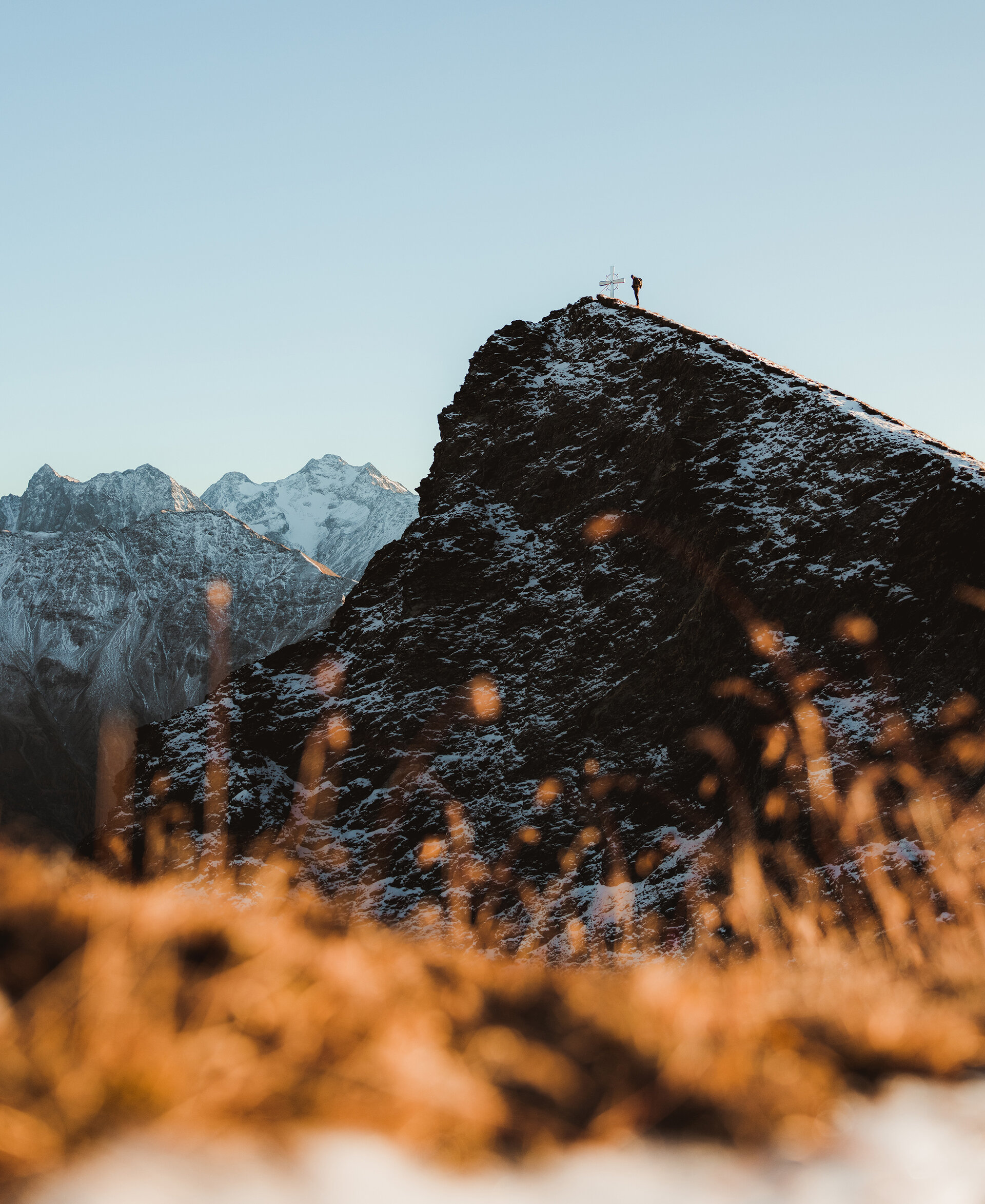
You can drive to the Zedlacher Paradies parking lot—just before the Strumerhof. The newly built, free parking lot offers plenty of space. From here, you have two options: Either follow the trail west toward Zedlacher Paradies and then take the wide forest road to the Wodenalm. Or take the shorter—but steeper—routevia Trail No. 53C . This will get you to the Wodenalm in just under an hour. The aroma of homemade Kaiserschmarren will test your resolve—here, you’ll need to resist the temptation to eat. Now follow the signs toward Planlißbichl, a viewpoint located at just under 2,200 meters, which you’ll reach after another 45 minutes. The view stretches from the Kristallkopf over the Malhamkees, the Lasörling Group, and the Lienzer Dolomiten all the way to the Glockner Group. From here, the silvery-shimmering summit cross already seems very close, but don’t let that fool you. In the spring, when snowfields or icy patches are still visible, this would be the ideal spot to put on crampons or ice spikes, as the rest of the route is steep and extremely exposed. On the steeply sloping eastern flank, your view repeatedly opens up to deep crevices in the earth and rock. The final 50 meters of elevation gain to the summit lead over an almost vertical rock outcrop. However, this section is secured with a steel cable and is therefore easily manageable even for non-climbers. After about 4.5 hours of climbing, you’ve made it. The cool Tauern breeze barely distracts from the breathtaking panorama. The Großglockner, the Großvenediger—indeed, nearly all the peaks of the Hohe Tauern—feel close enough to touch. To the south, the panorama stretches from the Karawanken to the rugged Dolomites. The north face of the Hintereggkogel drops straight down, and the summit offers little space —so you should pay extra attention to every step here ! The return trip follows the same route as the ascent, and the Wodenalm is an absolute MUST—our recommendation: the fluffy, light Kaiserschmarren!
Hintereggkogel 2.638m

starting point:
Car park Zedlacher Paradies 1.420m
destination point:
Car park Zedlacher Paradies 1.420m
highest point:
2638 m
total walking time
7 h
distance
8.2 km
🔋
altitude meters uphill
1170 hm
🞽
difficulty
difficult

1 Peak, 2 Names: Vorderer Sajatkopf/Kreuzspitz, 2,915 m

The peak at 2,915 m has always been designated as the “Vorderer Sajatkopf” on all official maps. Then, in August 1958after a true adventure —the name “Kreuzspitz” was coined. This was likely due to the fact that, in that year, a dozen young men carried massive logs across the steep mountain meadows of the Timmeltal all the way into the rocky terrain to erect a cross at the summit. The longitudinal beams were nine meters long, and the crossbeam measured six meters. A four-meter-high base log was added to this. The logs were strapped to the axle of an old plow with two wooden wheels, and two steel cables were spliced together to form a 50-meter-long rope. The rope then ran over a reel that was repeatedly anchored to a rocky outcrop as they made their way uphill. Then, meter by meter, the men pulled the contraption and its load up to the summit, until suddenly the knot came undone, and the longitudinal beam shot down 800 meters into the valley at breakneck speed.

On the second attempt, the transport was successful; after fleeing from lightning and thunder, the cross could finally be erected and was solemnly dedicated on August 24, 1958. From then on, the Vordere Sajatkopf became known in the local vernacular of Prägraten as the “Kreuzspitz.”

The peak rising to the north can be described as Prägraten’s “home mountain” and “guardian mountain, ” and it is now widely known. The shortest ascent starts from the Bodenalm parking lot (1,680 m) along the road to the hut of the same name and from there via the new road into the Timmeltal valley. At the fork in the trail opposite the Wallhorner Alm, head south toward the so-called “Fenster,” where a short rest is a must, offering a unique view of the entire Virgental valley and the mountains of the Lasörling Group. Continue the ascent northwest across steep meadow terrain until you reach the ridge; from there, keep to the right side of the ridge. The final stretch to the summit requires one last burst of concentration and sure footing before you can ring the little cross bell and quietly enjoy the panoramic view of the Lasörling and Venediger mountains and the tiny mountain village of Prägraten far below.

Vorderer Sajatkopf 2.915 m

starting point:
Parkplatz Bodenalm
destination point:
Vorderer Sajatkopf
highest point:
2915 m
total walking time
5 h
distance
5.9 km
🔋
altitude meters uphill
1219 hm
🞽
difficulty
difficult

In Search of the Soothing Effects of the Speik: A Hike to the “Speikboden” (2,517 m)

Spring is slowly but surely arriving in the Defereggental as well. Even though the mountain peaks at the end of the valley are still deeply covered in snow, a hike up to the Speikboden is a particularly good choice as a first spring hike and an introductory tour. The Speikboden is a ridge summit on the Lasörling Ridge above St. Veit in Defereggen. It’s a popular viewpoint offering views of the Großglockner, Großvenediger, Ortler, and Hochgall. The hike takes about 2 hours, but it’s definitely worth it.

The starting point for this beautiful mountain hike to the “Speikboden” is the Oberholz parking lot. From there, you’ll first hike along a forest trail to the Speikbodenhütte snack bar. From there, head northward uphill, past a hay shed, and then take a brief, slightly steeper path to the left leading to a wayside cross. From there, the trail continues to the right, ascending only slightly through alpine meadows. On the final slope, with its switchbacks, the path becomes steeper again as it climbs to the ridge. Follow a narrow trail along the broad ridge to the right, first over some rocky outcrops, then up a grassy slope to the Speikboden.

Speikboden 2.660m

starting point:
St. Veit Ort
destination point:
St. Veit Ort
highest point:
2653 m
total walking time
6 h
distance
17 km
🔋
altitude meters uphill
1190 hm
🞽
difficulty
average

A Tribute to the Glockner: Figerhorn (2,744 m) in Kals am Großglockner

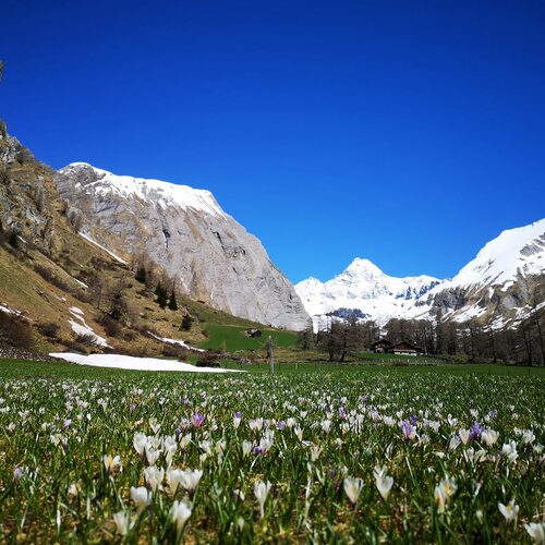
As soon as spring arrives and the snow slowly begins to melt at higher elevations, the hiking season in Kals am Großglockner can begin. If you can’t wait any longer and feel the call of the mountains early in the year, you can make your first summit hike up the Figerhorn. Thanks to the ascent’s sheltered southern exposure, the snow begins to melt there quite early, and depending on temperature and weather conditions , with good trip planning, you can tackle the summit of the Figerhorn as early as late April or early May. The reward for this approximately 3-hour hike is a colorful carpet of crocuses that emerge right after the snow melts, along with the many marmot families basking in the sun.


Starting at the Lucknerhaus, the Wendelin-Weingartner Trail winds its way up to the tree line and continues on to the Greibühel, 2,247 m (approx. 1 1/2 hours’ walk), where a wooden bench offers a place to rest. From there, the ascent continues across the Greiwiesen meadows over moderately steep terrain to the base of the Figerhorn. From there, the trail zigzags across the steep summit flank to the west-facing ridge. Since the slope is no longer south-facing from this point on, you should expect lingering snow on the final meters to the summit. Hiking poles and crampons are helpful here. At the summit, you’ll be treated to a stunning direct view of the Großglockner and a breathtaking mountain panorama featuring the Venediger, Granatspitz, Glockner, and Schober ranges.

Figerhorn

starting point:
Parkplatz Lucknerhaus
destination point:
Figerhorn
highest point:
2743 m
total walking time
6 h
distance
6.5 km
🔋
altitude meters uphill
807 hm
🞽
difficulty
difficult

Spring Specials

Learn more about spring in Osttirol

You may also be interested in

Ein Paar mit Rucksäcken genießt die Aussicht am Bösen Weibele. Die Frau zeigt dem Mann etwas in der Ferne.
All Hiking Trails

Would you like to climb a mountain and sign the summit logbook at the summit cross? Or take a hike through the alpine pastures to a rustic mountain hut? Here you'll find plenty of hiking tips.

Obstanser See mit Huette
Lodges & Hours of Operation

Which mountain huts are already open in the spring? We've listed all the huts along with their opening hours.

read more
Newsletter

Subscribe to our newsletter and receive the best tips every month for current offers, mountain tours, events and much more.