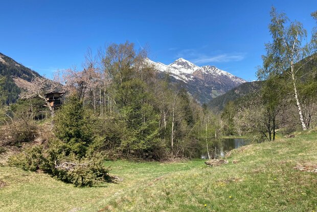
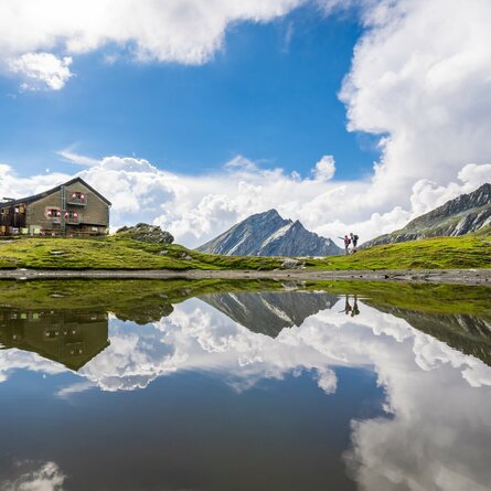
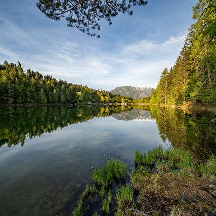
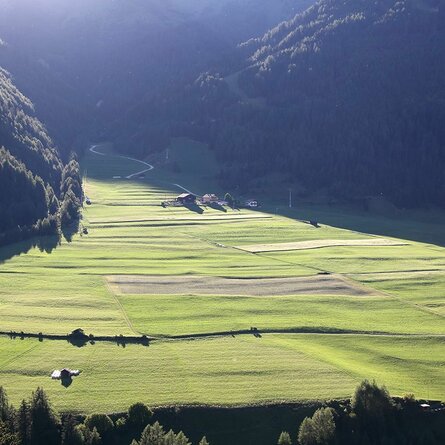
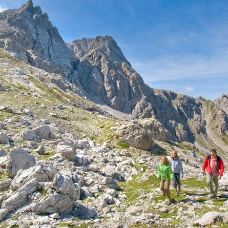
Oblasser Stausee

An easy hike at the beginning of the Kals valley

The most important at a glance

distance
2.66 km
altitude meters uphill
🔋
266 m
altitude meters downhill
🔋
258 m
walking time uphill
1 h
walking time downhill
1 h
total walking time
2 h
highest point
🞍
1054 m
difficulty
🞽
fitness:

* * * * *

🞙🞙🞙🞙🞙

technique:

* * * * *

🞙🞙🞙🞙🞙

public transport:

Bus line 952 or 951

parking:

Parking Unterpeischlach/Snack bar

starting point:
Parking in Unterpeischlach at the snack bar
destination point:
Parking in Unterpeischlach at the snack bar
best season:
MAR, APR, MAY, JUN, JUL, AUG, SEP, OCT, NOV

arrival

Stop

Unterpeischlach Kalserbachbrücke

altitude profile

Pdf file

Gpx file

Interactive map

Current weather conditions

Sonne-01.png

15°C/59°F °C

Description

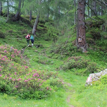
A delightful hike through mixed woodland up to the reservoir on the Kalser Bach. A stunning panoramic view from the lake.

show the overview
Newsletter

Subscribe to our newsletter and receive the best tips every month for current offers, mountain tours, events and much more.