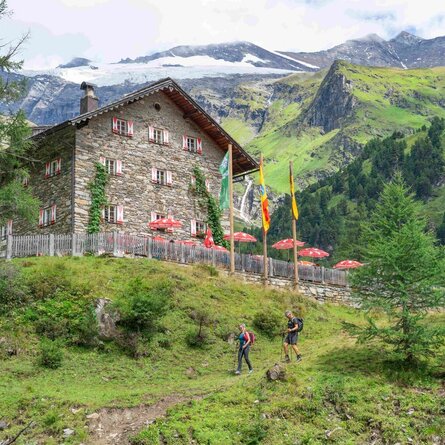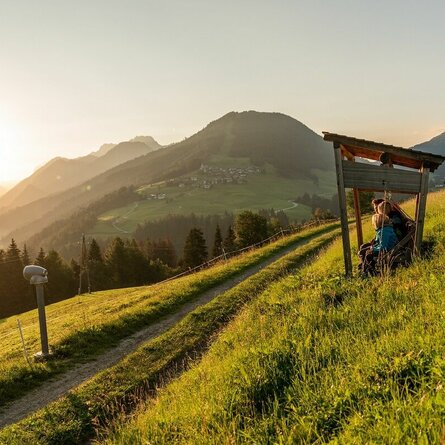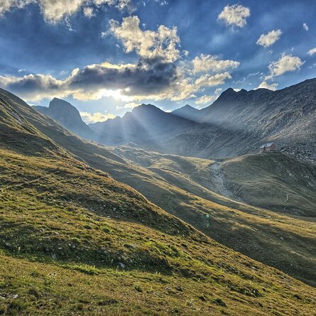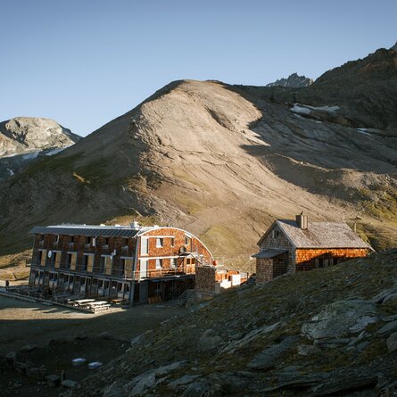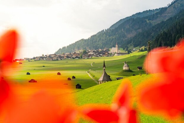
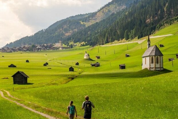
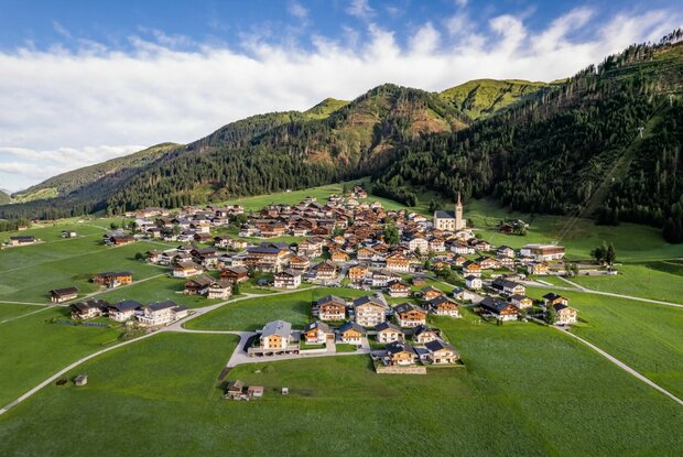
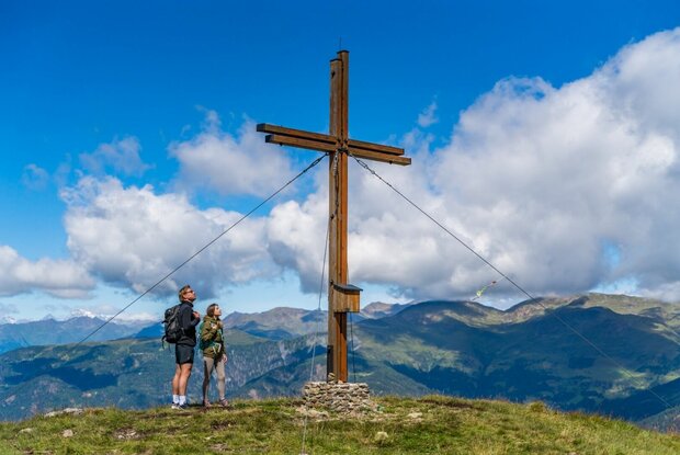
From Maria Luggau, we first follow the cross-country ski trail (or alternatively the main road), then the Grenzlandweg towards the Kartitscher Sattel, passing through the well-known and unique cultural landscape of the Obertilliach fields with their numerous hay huts, before reaching the parish church dedicated to St Ulrich and St James the Apostle, the patron saint of pilgrims, in the listed town centre of Obertilliach. At the northern end of the village, we follow the farm track, which turns left at the “Mauer” (just above the first T-bar lift) towards Gripp (No. 47). Soon, a shady, somewhat steeper path branches off from this, frequently crossing the farm track. At the tree line on the Gripp stands a small private mountain hut with a magnificent view. From here, the path continues across the now treeless south-western mountainside to a fork in the path at a biotope. Here we follow a narrow, almost level path that leads us westwards towards Pfannegg and eventually joins the Gailtal High Trail. Seclusion, tranquillity and a magnificent panoramic view quickly make you forget the exertions of the climb. Over the Dorfberg (2,115 metres), the route takes you through sun-drenched, scenic terrain all the way to St. Oswald, our destination.
Menu