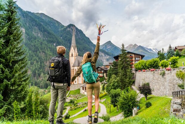
“Hoch & Heilig.” The name says it all for the
mountain pilgrimage route through Osttirol and the border-near pilgrimage sites in Carinthia and
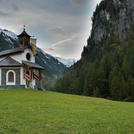
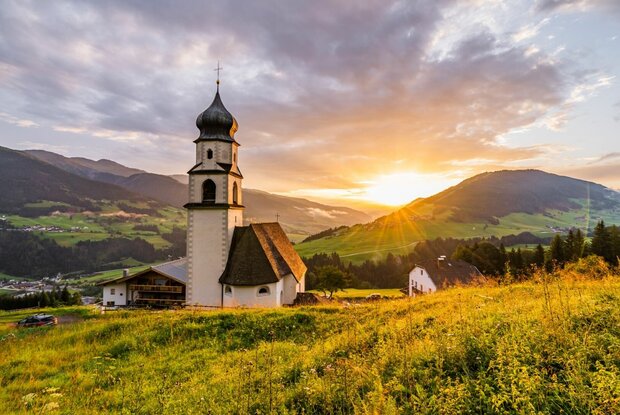
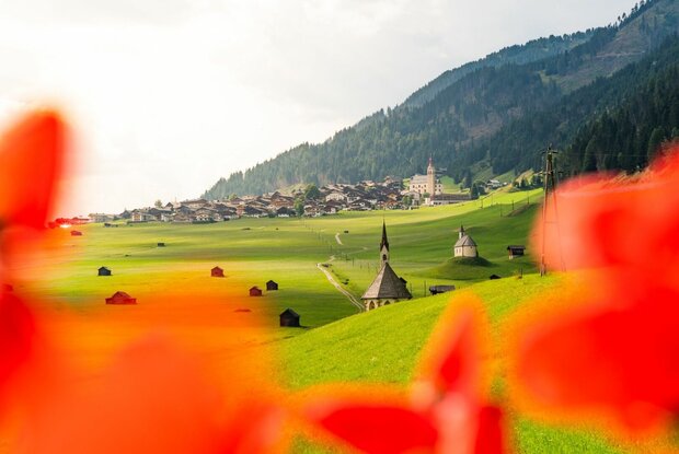
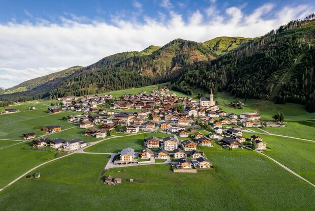
South Tyrol. The route connects centuries-old pilgrimage sites, pilgrimage churches,
and chapels across nine stages. It largely follows original pilgrimage routes and
is thus on the trail of spiritual, historical, and cultural treasures
.
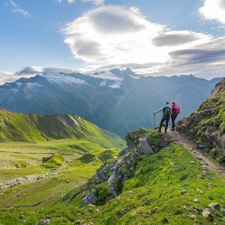
The “High” stands for the ascents and for the uplifting experience on
this pilgrimage route. The nine stages cover 10,475 meters of elevation gain and loss
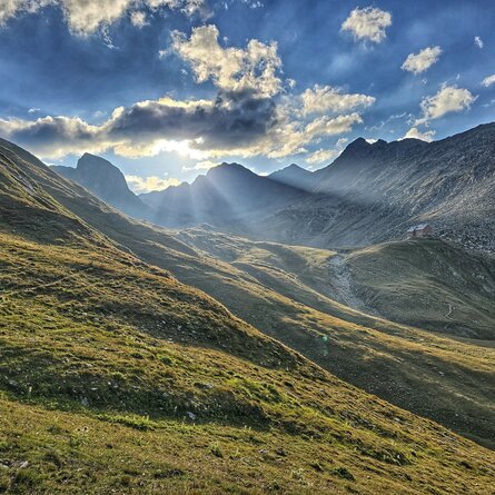
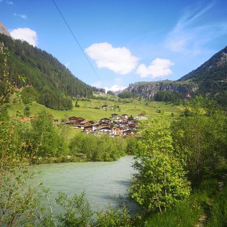
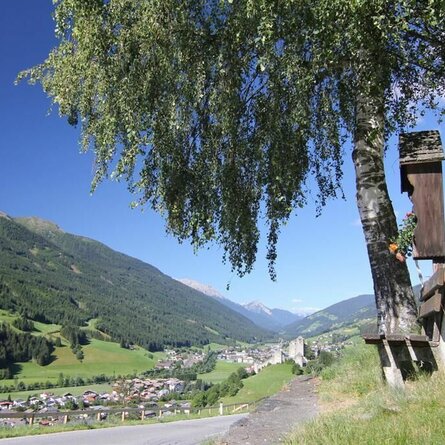
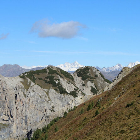
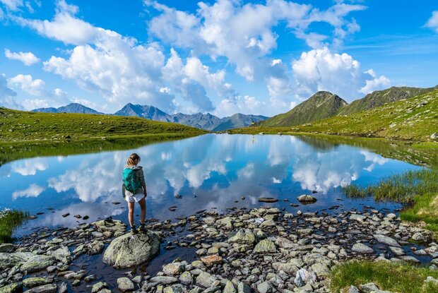
through the high-alpine mountain landscape of Osttirol, South Tyrol, and Carinthia.
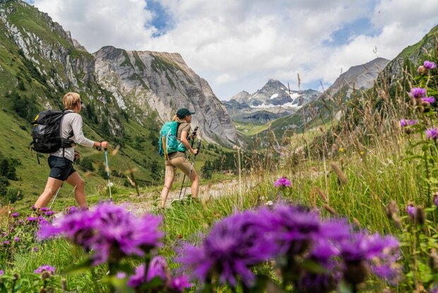
High-alpine hiking experience as well as excellent endurance and fitness are
required. The “Holy” stands for the search for salvation, healing, and the
encounter with the sacred. For centuries, people have carried their sorrows and suffering,
their pleas and thanks, to pilgrimage churches and before God.
Menu