Mountain bike & e-bike tours

in the National Park Hohe Tauern

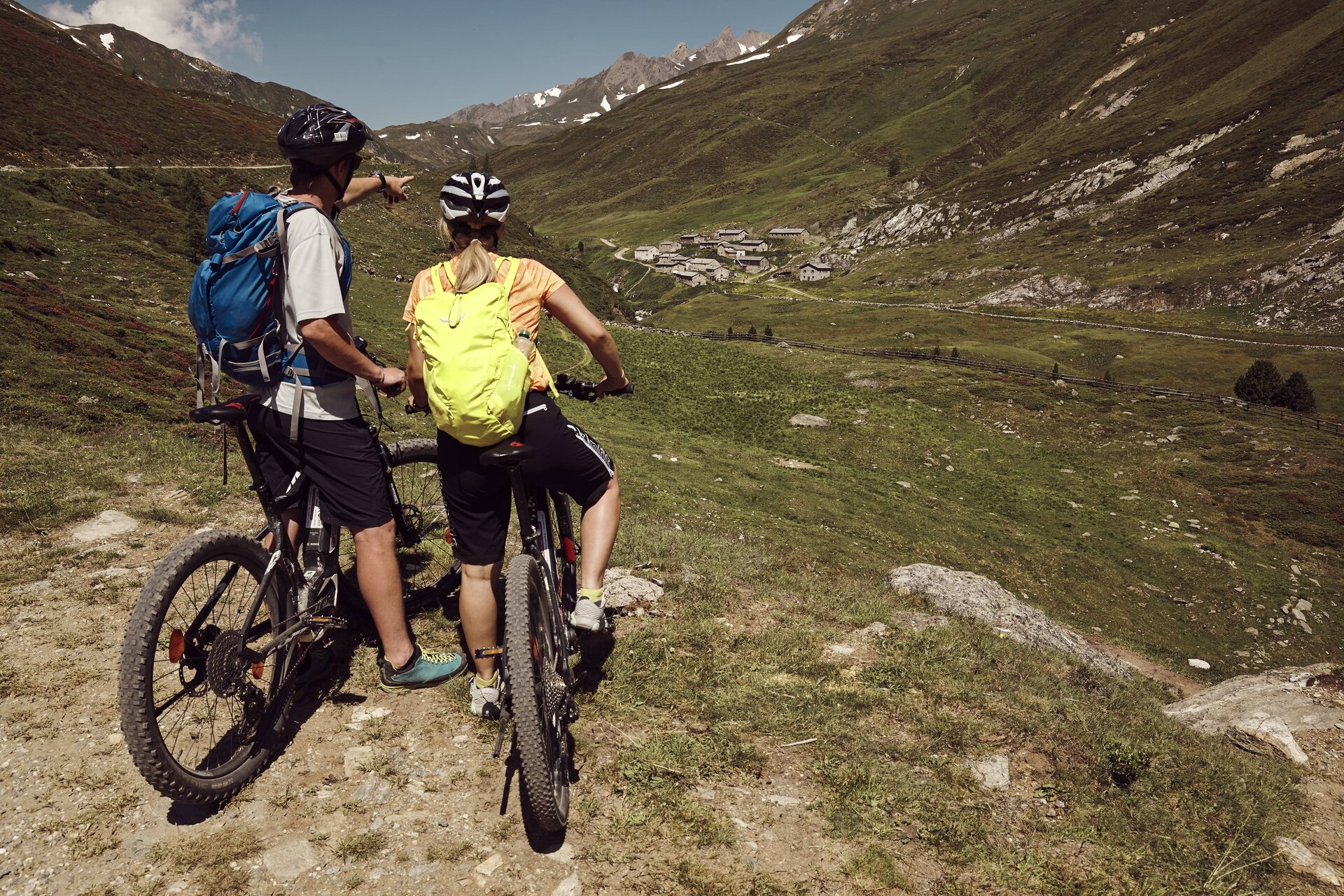
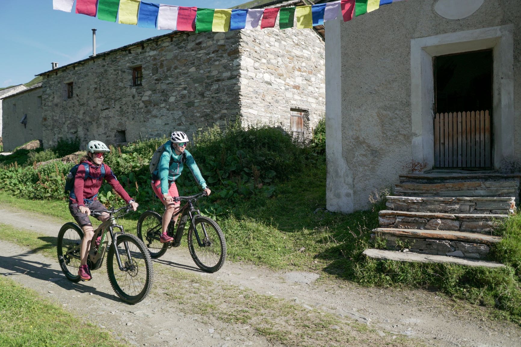
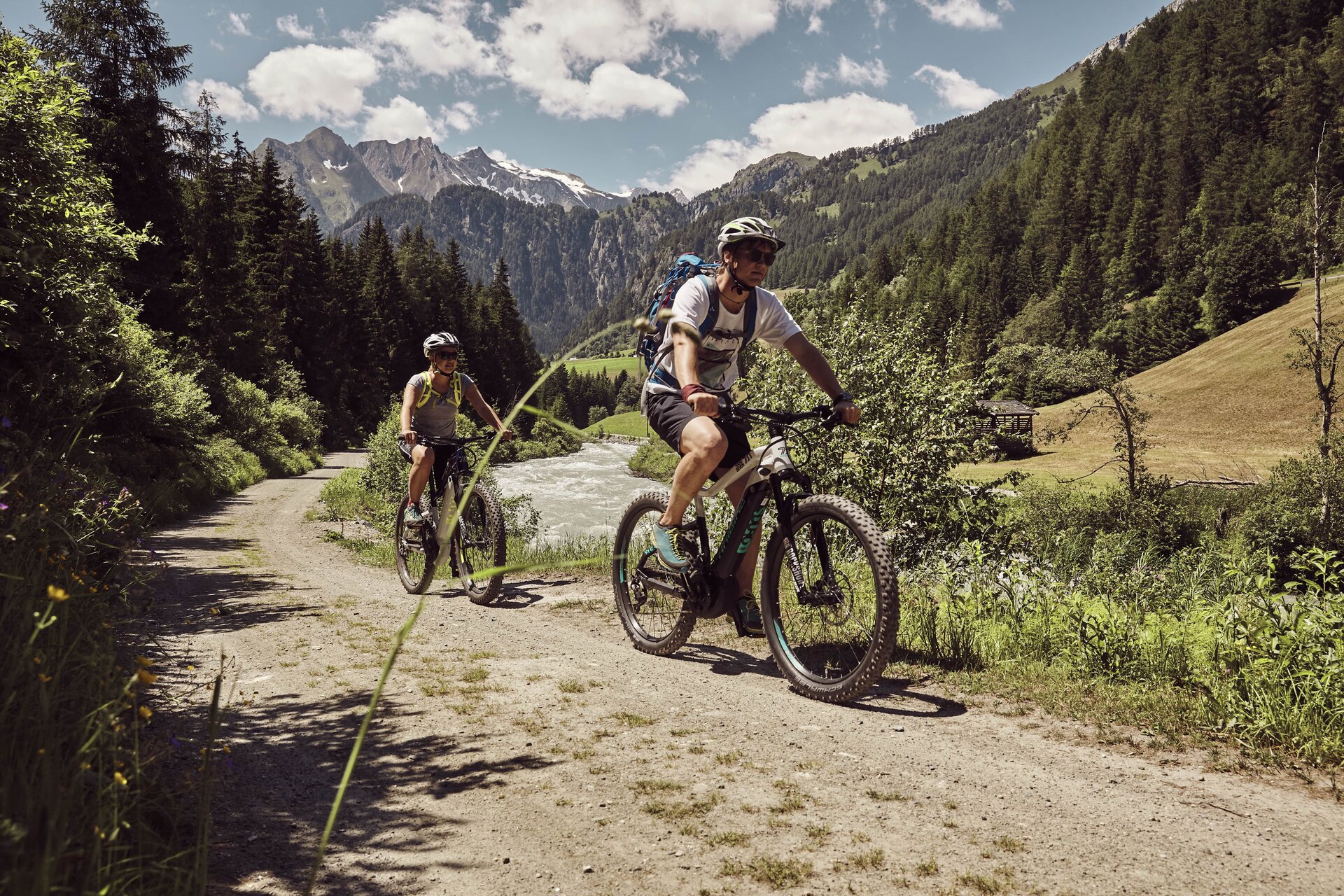
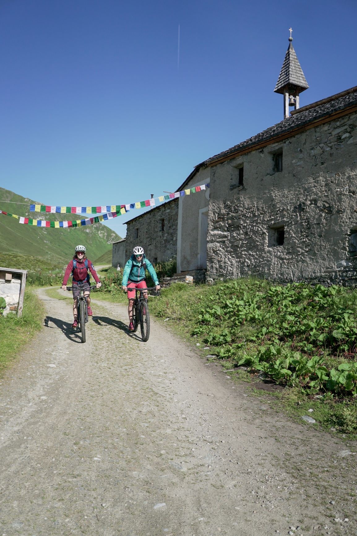
Relaxed & environmentally conscious in nature. Bike tours to fantastic vantage points and into wild romantic valleys are an unforgettable experience. In addition, you will experience the mountains of the National Park Hohe Tauern from a different perspective and remote valleys & mountain peaks can be explored in an easier way.

Note: E-bike tours are only allowed in the protected area on designated (e-)bike routes!

Jagdhausalm

Hiking tip: Pfauenauge Pond (past the Jagdhausalm alpine pasture)

Klammljoch - Defereggental No. 102

starting point:
St. Jakob i. Def.
destination point:
Klammljock
highest point:
2280 m
distance
44 km
🔋
altitude meters uphill
890 hm
🞽
difficulty
average

Lienz Hut / Debanttal Valley

Hiking tip: Debanttal valley nature and culture trail, from car park Seichenbrunn

Faschingalm- Debanttal- Lienzer Hütte No. 107

starting point:
Nussdorf-Debant-Faschingalmparkplatz (1560m)
destination point:
Lienzer Hütte (1975m)
distance
37.6 km
🔋
altitude meters uphill
1580 hm
🔋
altitude meters downhill
1405 hm
🞽
difficulty
average

Lucknerhaus

Hiking tip: several hiking- and climbing tours

Lucknerhaus circuit No. 117

starting point:
Kals am Großglockner (1330m)
destination point:
Kals (1330m)
distance
12.8 km
🔋
altitude meters uphill
584 hm
🔋
altitude meters downhill
570 hm
🞽
difficulty
average

Umbalfälle

Hiking tip: nature-force-trail Umbal Wateraflls - Umbaltal Valley

Radweg Virgental No. 132

starting point:
Parkplatz bei der Matreier Goldried Bergbahn
destination point:
Umbalfälle
distance
48.2 km
🔋
altitude meters uphill
1090 hm
🔋
altitude meters downhill
1090 hm
🞽
difficulty
average

Bodenalm - Timmeltal

Bodenalm - Timmeltal No. 129

starting point:
Sportsarea Gries
destination point:
Timmeltal
highest point:
2140 m
distance
22.9 km
🔋
altitude meters uphill
1000 hm
🞽
difficulty
average

Pifangalm - Teischnitztal

Teischnitztal No. 113

starting point:
Kals am Großglockner-Parkplatz Dorfertal (1500m)
destination point:
Pifangalm (2250m)
distance
18.2 km
🔋
altitude meters uphill
906 hm
🔋
altitude meters downhill
914 hm
🞽
difficulty
difficult

Johannishütte

Johannishütte No. 131

starting point:
Prägraten-Hinterbichl (1335m)
destination point:
Johannishütte (2130m)
distance
16.1 km
🔋
altitude meters uphill
780 hm
🔋
altitude meters downhill
780 hm
🞽
difficulty
average
Newsletter

Subscribe to our newsletter and receive the best tips every month for current offers, mountain tours, events and much more.