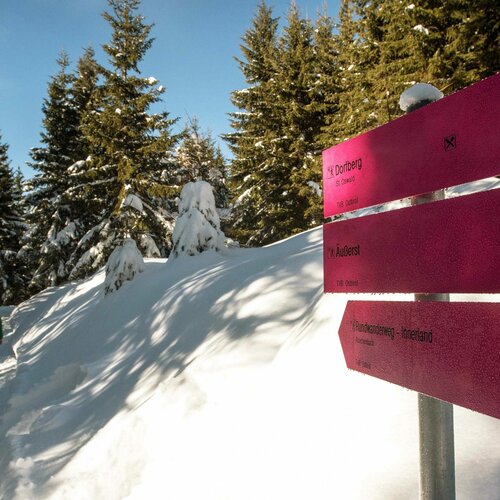
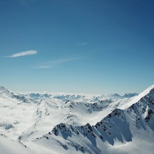
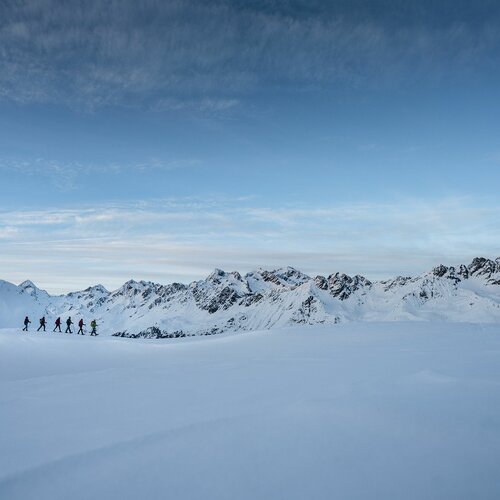
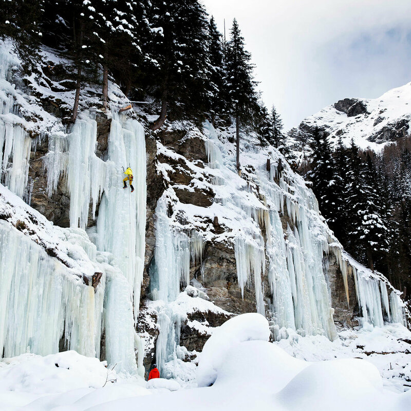
EN

Winter hiking in Matrei in Osttirol

Experience the silence of nature

You want to know the secret of winter hiking in the NationalparkRegion Hohe Tauern Osttirol? We will tell you what you can expect here:

  • a romantic winter landscape
  • untouched nature
  • clear air
  • a unique mountain panorama
  • silence and deceleration
  • the magic of the full moon - for example on guided full moon hikes by the National Park Rangers.

Winter hiking trails in the NationalparkRegion Hohe Tauern

closed
state: closed

Winter hiking trail Hinteraue

starting point:
Parkplatz Kreuzbühel
destination point:
Parkplatz Kreuzbühel
highest point:
970 m
total walking time
1:10 h
distance
3.7 km
🔋
altitude meters uphill
35 hm
🞽
difficulty
easy
closed
state: closed

Winter hiking trail Bodenalm 1.945m

starting point:
TVB Infobüro Prägraten
destination point:
Bodenalm
highest point:
1945 m
total walking time
4:20 h
distance
11.8 km
🔋
altitude meters uphill
611 hm
🞽
difficulty
average
closed
state: closed

Forest road Berger Eck

starting point:
Sportplatz Prägraten
destination point:
Berger-Eck
highest point:
1610 m
total walking time
4 h
distance
9.7 km
🔋
altitude meters uphill
390 hm
🞽
difficulty
easy
closed
state: closed

Winter hiking trail Bichl - Hinterbichl

starting point:
Gemeindeamt - Tourismusinformation Prägraten
destination point:
Gasthof Islitzer
highest point:
1478 m
total walking time
1:30 h
distance
3.54 km
🔋
altitude meters uphill
161 hm
🞽
difficulty
easy
closed
state: closed

Winter hiking trail Prägraten - Bichler Waldweg

starting point:
Tourismusinformation Prägraten
destination point:
Tourismusinformation Prägraten
highest point:
1690 m
total walking time
2:30 h
distance
3.4 km
🔋
altitude meters uphill
365 hm
🞽
difficulty
easy
closed
state: closed

Winter hiking trail Prägratner Sonnseitenrunde

starting point:
Gemeindeamt Prägraten
destination point:
Gemeindeamt Prägraten
highest point:
1401 m
total walking time
1 h
distance
2.7 km
🔋
altitude meters uphill
95 hm
🞽
difficulty
easy
closed
state: closed

Winter hiking trail Hinterbichl - Bichler Waldweg

starting point:
Bushaltestelle Hinterbichl Edelweiss
destination point:
Großebene
highest point:
1692 m
total walking time
3 h
distance
3.6 km
🔋
altitude meters uphill
369 hm
🞽
difficulty
easy
closed
state: closed

Winter hiking trail Wallhornrunde

starting point:
Bushaltestelle Wallhorn
destination point:
Bushaltestelle Wallhorn
highest point:
1426 m
total walking time
3 h
distance
4.6 km
🔋
altitude meters uphill
142 hm
🞽
difficulty
easy
open
state: open

Lesachbach river bank trail

starting point:
Knopfbrücke
destination point:
Knopfbrücke
highest point:
1304 m
total walking time
40 min
distance
1.7 km
🔋
altitude meters uphill
64 hm
🞽
difficulty
easy
open
state: open

Lesach Riegel

starting point:
Kals/Lescah
destination point:
Kals/Lesach
highest point:
2134 m
total walking time
5 h
distance
11.46 km
🔋
altitude meters uphill
706 hm
🞽
difficulty
easy
open
state: open

Alter Lucknerhausweg trail - Glor-Berg-Lucknerhaus

starting point:
Glor-Berg
destination point:
Alpengasthof Lucknerhaus
highest point:
1918 m
total walking time
4:30 h
distance
11.76 km
🔋
altitude meters uphill
540 hm
🞽
difficulty
easy
open
state: open

Moaalmweg Kals

starting point:
Parkplatz Moalm
destination point:
MoaAlm Mountain Retreat
highest point:
1775 m
total walking time
2 h
distance
5.3 km
🔋
altitude meters uphill
273 hm
🞽
difficulty
average
open
state: open

Ködnitz-Arnig

starting point:
Tourismusinformation Kals a. G.
destination point:
Tourismusinformation Kals a. G.
highest point:
1322 m
total walking time
3 h
distance
7.39 km
🔋
altitude meters uphill
132 hm
🞽
difficulty
easy
Newsletter

Subscribe to our newsletter and receive the best tips every month for current offers, mountain tours, events and much more.