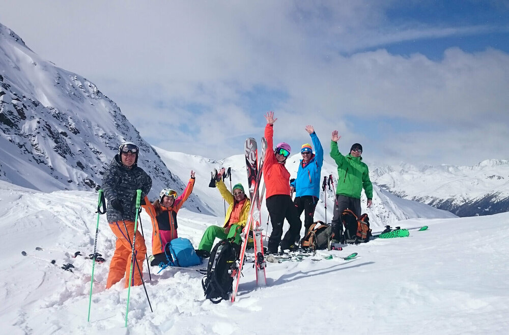
EN

Skimountaineering around Matrei in Osttirol

Untracked slopes are waiting here for you.

Do you need deep snowy, untracked slopes? Then a stay in Matrei in Osttirol is just right for you. The valley Tauerntal offers plenty of skimountaineering routes in the  mountain ranges Granatspitzgruppe and Venedigergruppe. Kals am Großglockner with the highest peak of Austria, the Großglockner 3.798 m, the valley Virgental with the great Großvenediger 3.666 m as well as all the numerous side valleys in and around Matrei in Osttirol are also suitable for fantastic tours. The special geographical location as well as the natural valleys make the region a true experience for skimountaineers. A special highlight is the so-called "SKIROUTE HOCH TIROL" - an impressive multi-day alpine tour, on which you have a stunning view to the most beautiful peaks of the Eastern Alps.


Skimountaineering in Matrei in Osttirol

Weißeneckscharte 2.637m

starting point:
Matreier Tauernhaus
destination point:
Weißeneckscharte
🔋
altitude meters uphill
1110 hm
walking time uphill
3:30 h
distance
6.1 km

Wildenkogel 3.021m

starting point:
Matreier Tauernhaus (1.500 m)
destination point:
Wildenkogel (3.021 m)
🔋
altitude meters uphill
1350 hm
walking time uphill
4 h
distance
4.2 km

Äußerer Knorrkogel 2.920m

starting point:
Matreier Tauernhaus (1.510 m)
destination point:
Äußerer Knorrkogel (2.921 m)
🔋
altitude meters uphill
1400 hm
walking time uphill
5 h
distance
10.3 km

Hochgasser 2.922m

starting point:
Felbertauern South portal
destination point:
Hochgasser
🔋
altitude meters uphill
1240 hm
walking time uphill
4 h
distance
4.5 km

Amertaler Höhe 2.841m

starting point:
Felbertauern / Südportal
destination point:
Amertaler Höhe (2.841 m)
🔋
altitude meters uphill
1210 hm
walking time uphill
4 h
distance
5 km

Rote Säule 2.993m

starting point:
Matreier Tauernhaus
destination point:
Rote Saile
🔋
altitude meters uphill
1280 hm
walking time uphill
5 h
distance
3.4 km

Kalser Bärenkogel Nordwestgipfel 3.078m

starting point:
Matrei - Felbertauernstraße/Landecktal (1.380 m)
destination point:
Kalser Bärenkogel Nordwestgipfel (3.034 m)
🔋
altitude meters uphill
1510 hm
walking time uphill
5 h
distance
8.3 km

Wilde Mander Scharte 2.615m

starting point:
Felbertauernstraße / Parkplatz Landeckwald
destination point:
Wilde Mander Scharte
🔋
altitude meters uphill
1140 hm
walking time uphill
3:30 h
distance
4.3 km
Newsletter

Subscribe to our newsletter and receive the best tips every month for current offers, mountain tours, events and much more.