EN

Hiking in Matrei in Osttirol

Flying high on a hiking vacation

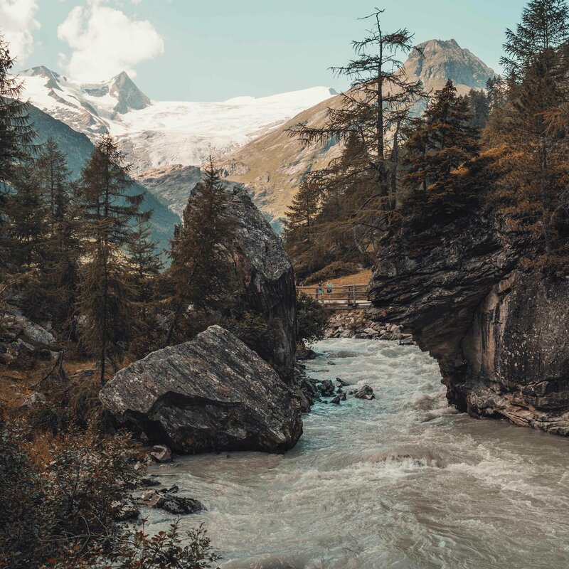
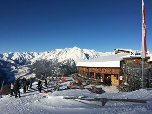
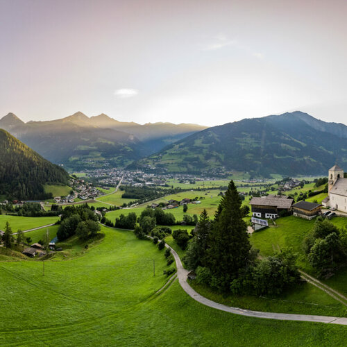
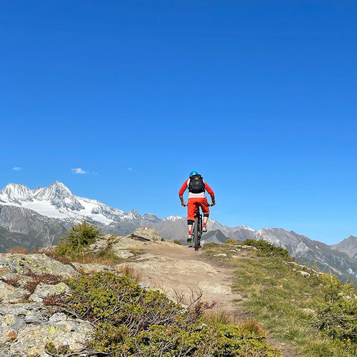
Rugged mountain peaks, mighty rocks, eternal ice and green alpine meadows - hiking in one of the most beautiful natural landscapes in the Alps. Matrei in Osttirol and its neighboring villages offer a well-developed and marked network of hiking trails, combining easy, moderately difficult and challenging hikes.

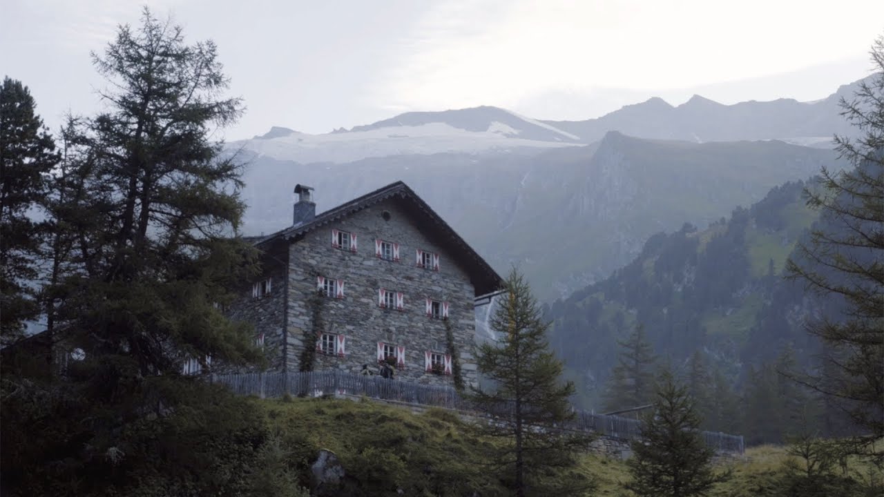
The Nationalpark Hohe Tauern Osttirol, the largest nature reserve in Central Europe, is just waiting to be explored by you and your hiking partner!

TOP hikes

in Matrei in Osttirol

Aufnahme von einem schnell fließenden Fluss, umgeben von großen Felsen und einigen Nadelbäumen. Im Hintergrund ist eine kleine Holzbrücke mit 2 Personen und es erheben sich hohe, noch schneebedeckte Berge.
Gschlößtal

This easy family hike takes you into the heart of the Nationalpark Hohe Tauern - including breathtaking views of the glacier world of Osttirol.

St. Nikolauskirche in Matrei in Osttirol
Talweg Matrei in Osttirol

Whether as a day hike or in several stages - the Matrei Valley Trail has something for everyone.

Proßeggklamm in Matrei i. O.
Proßeggklamm

This hike is one of the most spectacular and varied that you can do in Matrei i. O..

Bergsteiger am Großen Zunig
Großer Zunig (2,776m)

Its central position makes the Großer Zunig a beautiful panoramic mountain, but its ascent is only suitable for experienced mountaineers due to the enormous difference in altitude.

Goldried

There is so much to discover and experience in the Goldried. The Klaunzerberg, the local mountain of Matrei in Osttirol, offers a whole range of outdoor adventures. Family and circular hiking trails, for example, as well as huts that invite you to rest and enjoy. A breathtaking 360° panorama, numerous glacier views and an iconic view of the Grossglockner also await you in Goldried.


Glide and hike to sunny heights

Großglockner Resort Kals am Großglockner-Matrei

The Kalser or Matreier cable cars take you quickly and comfortably to Goldried at over 2,000 meters above sea level. Let yourself be enchanted by the mountain world of Osttirol, the Großglockner and Großvenediger. Do you already know the Osttirol's Glockner-Dolomiten Card for the mountain railroads and numerous excursion destinations?

Goldriedriese

total walking time
4 h
distance
3.9 km
🔋
altitude meters uphill
660 hm
🞽
difficulty
easy

Bärensteig

starting point:
Parkplatz E
destination point:
Parkplatz Eden-Happeck
total walking time
5:30 h
distance
9.3 km
🔋
altitude meters uphill
770 hm
🞽
difficulty
average

Circular Europe Panorama Trail

starting point:
Matreier Goldried Bergbahnen
destination point:
Bergstation Blauspitz
highest point:
2210 m
total walking time
2:30 h
distance
6.9 km
🔋
altitude meters uphill
290 hm
🞽
difficulty
average

Europa Panoramaweg

starting point:
Mountain station Matreier Goldried Bergbahnen
destination point:
Mountain Matreier Goldried Bergbahnen
highest point:
2250 m
total walking time
3:45 h
🔋
altitude meters uphill
100 hm
🞽
difficulty
easy

Rotenkogel

starting point:
Adler Lounge / Bergbahnen Kals
destination point:
Adler Lounge / Bergbahnen Kals
highest point:
2762 m
total walking time
3 h
distance
3.9 km
🔋
altitude meters uphill
383 hm
🞽
difficulty
difficult

Huts in the Goldried

Enjoy mountain cuisine

Here in the Nationalpark Hohe Tauern, great importance is attached to personal care, tranquillity and genuine hospitality. Several establishments offer you culinary summit delights. Most of the innkeepers on the Klaunzerberg are descended from mountain farming families and have been rooted in the mountain for centuries.

infrastructure.name
Genusshütte Roatz Bodn 1.880m
Klaunz 46
9971 Matrei in Osttriol
infrastructure.name
Kals-Matreier-Törl Haus 2.207m
Am Sonnenhang 18
9971 Matrei in Osttirol
infrastructure.name
Berggasthaus Kuenzer Alm 1.760m
Klaunz 2A
9971 Matrei in Osttirol
infrastructure.name
Berggasthaus Goldried 2.150m
Klaunz 52
9971 Matrei in Osttirol

Operating times 2025:

Kalser Bergbahnen
21.06.2025 - 21.09.2025
Wednesday HOLIDAY
Continuous operation from
20.07.2025 - 17.08.2025
In good weather daily from 09.00 to 16.30

Figol and Blauspitz chairlift closed!


Matreier Goldried mountain railways

06.07.2025 - 29.08.2025
Saturday HOLIDAY
In good weather daily from 09.00 am to 4.30 pm

Matreier Goldried Bergbahnen GmbH & Co KG

valley station

9971 Matrei in Osttirol

F. +43 4875 6067 4

Long-distance hiking trails Matrei in Osttirol

Embark on a journey on foot and get to know the mountains and valleys up close along various routes. The magnificent views, the fresh air, the exercise and the refreshments in huts, mountain pastures and inns - all of this combines to make long-distance hiking an unforgettable experience.


As a long-distance hiker, you not only embark on a search for yourself in Matrei - you also learn to love the wild solitude of Osttirol.

Long-distance hiking trails in Matrei

youtube video

Adlerweg trail through East Tirol:

highest point:
2870 m
distance
95 km
🔋
altitude meters uphill
7291 hm
🞽
difficulty
difficult

Trail Virgentaler Sonnseitenweg

starting point:
Matrei i. O.
destination point:
Ströden
highest point:
2120 m
total walking time
19 h
distance
41.9 km
🔋
altitude meters uphill
2600 hm
🞽
difficulty
average

Venediger altitude trail

starting point:
Car park Ströden / Prägraten a.G. 1.450m
destination point:
Matreier Tauernhaus 1.512m
highest point:
2900 m
total walking time
27 h
distance
55.5 km
🔋
altitude meters uphill
3915 hm
🞽
difficulty
difficult

Lasörling altitude trail

starting point:
Car Park Guggenberg 1.150m
destination point:
Car Park Ströden 1.450m
highest point:
2850 m
total walking time
25 h
distance
57 km
🔋
altitude meters uphill
3740 hm
🞽
difficulty
average

Iseltrail

starting point:
Lienz
destination point:
Gletscherzunge am Umbalkees
highest point:
2500 m
total walking time
24:30 h
distance
75.3 km
🔋
altitude meters uphill
2348 hm
🞽
difficulty
average

Glockner Crown

starting point:
Kals/Großdorf
destination point:
Kals/Großdorf
highest point:
2834 m
total walking time
31 h
distance
65.6 km
🔋
altitude meters uphill
3737 hm
🞽
difficulty
average

High and sacred – an Alpine pilgrim trail through East Tyrol, South Tyrol and Upper Carinthia

starting point:
Lavant
destination point:
Heiligenblut
highest point:
2654 m
total walking time
65 h
distance
194 km
🔋
altitude meters uphill
11200 hm
🞽
difficulty
average

Stories from Matrei

This might also interest you

Eine Frau an einem schönen Sommertag im Klettergarten Falkenstein.
Falkenstein climbing garden

1,550m above sea level, 4 sectors and over 140 routes. The Falkenstein climbing garden is an exciting experience for young and old all year round.

read more
Teufelssprung Seilschwinge
Devil's leap

The Devil's Leap is a real highlight for anyone looking for the ultimate thrill. A jump into a 140m deep gorge, a 40m free fall and top speeds of up to 100 km/h await you.

read more
Newsletter

Subscribe to our newsletter and receive the best tips every month for current offers, mountain tours, events and much more.