EN

Schustertalweg trail

Impressive hike into the Schustertal valley

The most important at a glance

distance
3.7 km
altitude meters uphill
🔋
140 m
altitude meters downhill
🔋
140 m
walking time uphill
1:30 h
total walking time
1:30 h
highest point
🞍
1450 m
difficulty
🞽
average
state:
closed
fitness:

* * * * *

🞙🞙🞙🞙🞙

technique:

* * * * *

🞙🞙🞙🞙🞙

public transport:

Mit dem Bus bis zur Haltestelle "Kartitsch Abzw. St. Oswald"

parking:

Parkplatz beim Kanterlift in Kartitsch

starting point:
Parkplatz Kanterlift
destination point:
Parkplatz Kanterlift
best season:
JAN, FEB, MAR, APR, NOV, DEC
route typ:
circuit

arrival

Parking spot

Parkplatz Kanterlift

altitude profile

Pdf file

Gpx file

Interactive map

Current weather conditions

Regen-00-02-08.png

6°C/43°F °C

Description

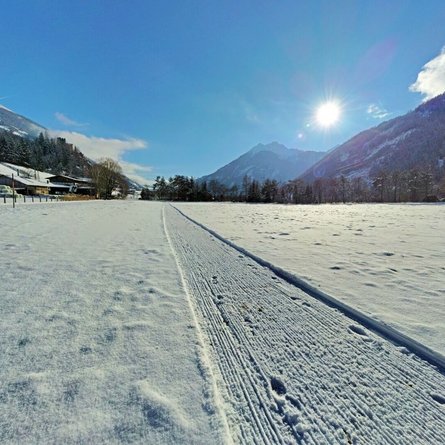
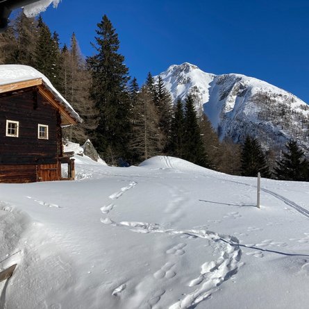
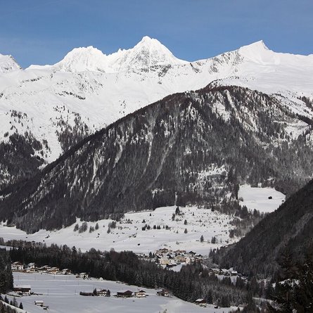
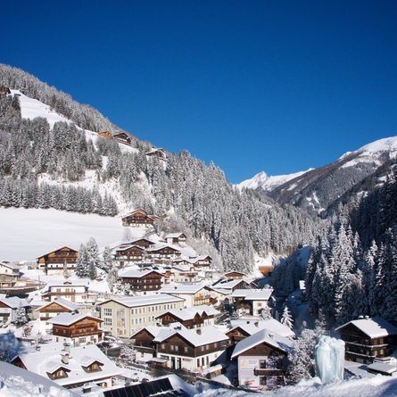
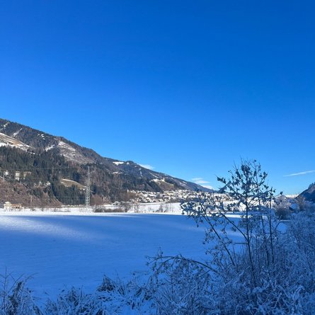
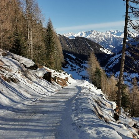
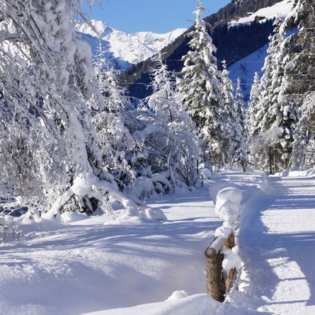
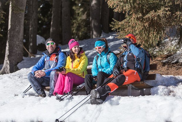
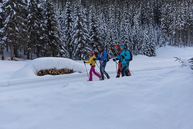
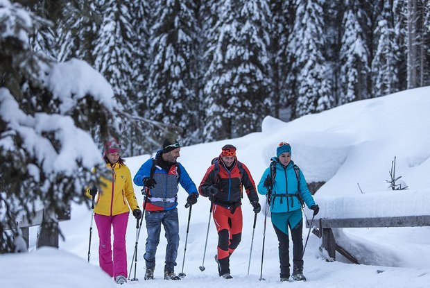
The starting point for this circuit is the car park by the Kanterlift in Kartitsch. The path ascends slightly along the Bärenloch sledge piste directly into the Schustertal. The wildly romantic hiking path meanders through the snowy winter forest, past the big boulders that originate verifiably from the last Ice Age! After arriving approximately in the middle of the valley, the path crosses the stream and leads on the opposite side back towards Schuster and from there on to the Kanterlift car park. A tip for the winter hiker: before reaching Schuster again, it is possible to do a short detour to the Birglhöfen. From there one has a fantastic view over the whole locality – from St.Oswald to Rauchenbach. Connection possibility: Gailbach circuit, Hollbruckertalweg.
 

Newsletter

Subscribe to our newsletter and receive the best tips every month for current offers, mountain tours, events and much more.