EN

Gasser Kofel No. 137

The most important at a glance

distance
9.9 km
altitude meters uphill
🔋
510 m
altitude meters downhill
🔋
510 m
highest point
🞍
1920 m
difficulty
🞽
average
circuit
🞍
no
fitness:

* * * * *

🞙🞙🞙🞙🞙

technique:

* * * * *

🞙🞙🞙🞙🞙

public transport:

St. Jakob i.D. Gemeindeamt

parking:

Parkplatz Neue Mittelschule St. Jakob

starting point:
Eingang Trojer Tal
destination point:
Gasser Kofel
best season:
MAY, JUN, JUL, AUG, SEP

arrival

Stop

St. Jakob i. D. Gemeindeamt

Parking spot

Car park Trojeralmtal

altitude profile

Pdf file

Gpx file

Interactive map

Current weather conditions

Sonne-02.png

4°C/39°F °C

Description

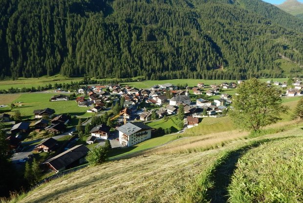
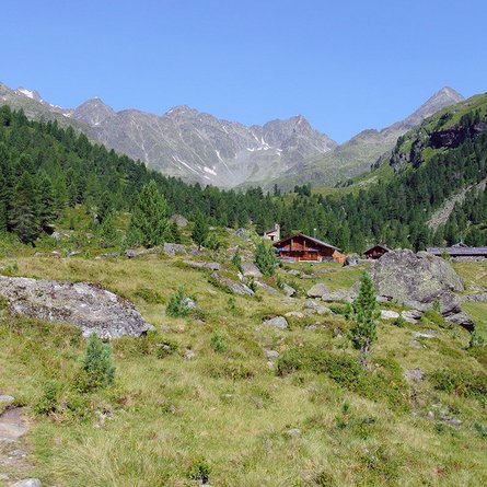
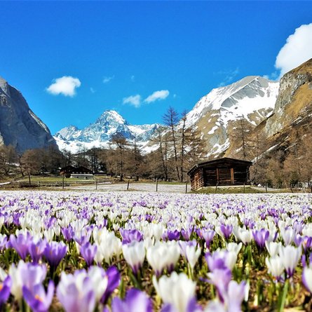
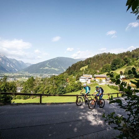
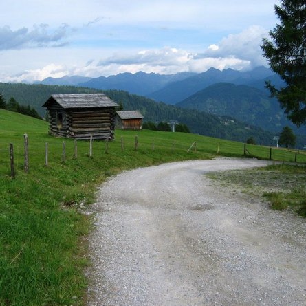
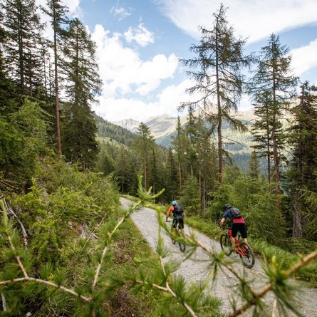
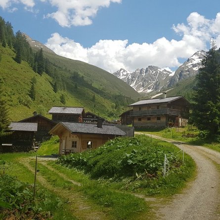
This moderately difficult MTB tour starts at the entrance to Trojer Tal, north of the centre of St. Jakob in Defereggental. It proceeds via a little tarmac road to the "Jagastube" snack station and continues via a gravel road to "Gasser Kofel". The meadows above filled with flowers tempt you to head out on hikes.

Newsletter

Subscribe to our newsletter and receive the best tips every month for current offers, mountain tours, events and much more.