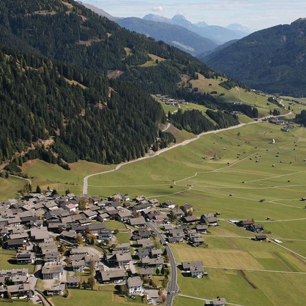
Hiking tour to Kals-Matreier-Törl 2.207m

The most important at a glance

distance
8.3 km
altitude meters uphill
🔋
710 m
altitude meters downhill
🔋
710 m
walking time uphill
3 h
walking time downhill
2 h
total walking time
5 h
highest point
🞍
2200 m
difficulty
🞽
average
fitness:
* * * * *
🞙🞙🞙🞙🞙
technique:
* * * * *
🞙🞙🞙🞙🞙
public transport:

Matrei i. O. Mittelschule

parking:

Parking place Happeck

starting point:
Parking place Happeck
destination point:
Parking place Happeck
best season:
JUN, JUL, AUG, SEP, OCT

arrival

Bus stop
Matrei i. O. Mittelschule
Car park
Car park Happeck 1.500m

altitude profile

Pdf file

Gpx file

Interactive map

Current weather conditions

Sonne-03.png
5°C/41°F °C

Description

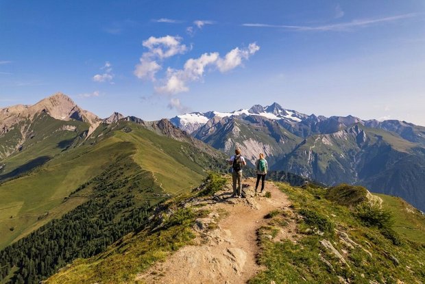
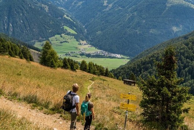
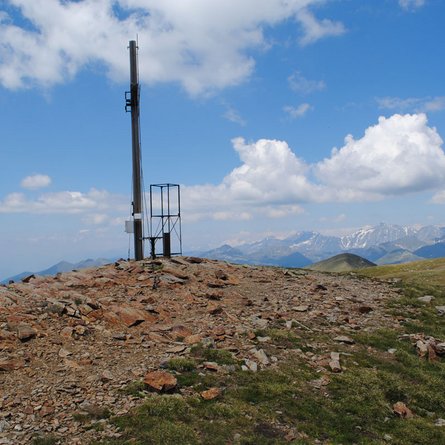
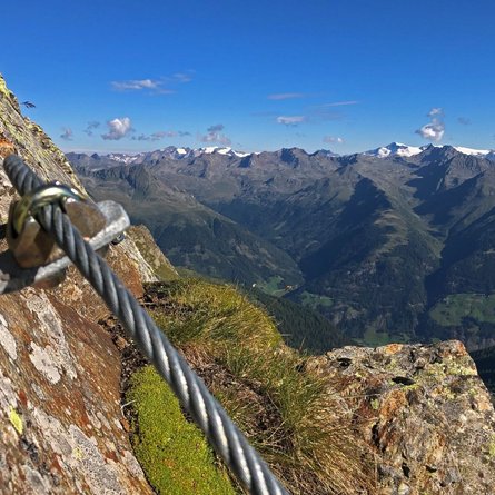
This rather challenging tour starts at Happeck carpark. From here on, you will walk up the so-called Bärensteig (bear’s path) for about 3 hours. At the end of the path, Kals-Matreier-Törl is waiting for you. Up here you can enjoy a most impressive view onto the Glockner-, Venediger- and Schober-Group.

Newsletter

Subscribe to our newsletter and receive the best tips every month for current offers, mountain tours, events and much more.