Wanderung zur Stüdlhütte

The most important at a glance

distance
9.3 km
altitude meters uphill
🔋
862 m
altitude meters downhill
🔋
857 m
walking time uphill
3 h
walking time downhill
2:30 h
total walking time
5:30 h
highest point
🞍
2802 m
difficulty
🞽
average
fitness:

* * * * *

🞙🞙🞙🞙🞙

technique:

* * * * *

🞙🞙🞙🞙🞙

starting point:
Parkplatz Glocknerwinkel
destination point:
Parkplatz Glocknerwinkel
best season:
JUN, JUL, AUG, SEP, OCT

arrival

Parking spot

Parking area Glocknerwinkel

altitude profile

Pdf file

Gpx file

Interactive map

Current weather conditions

Sonne-03.png

16°C/61°F °C

Description

Ascent via Kalser Glocknerstrasse to the Glocknerwinkel car park (toll fee).


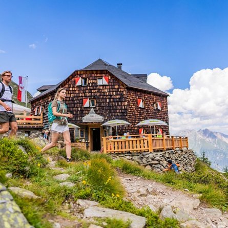
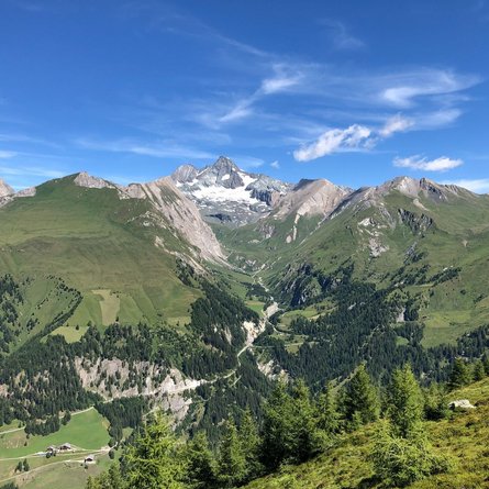
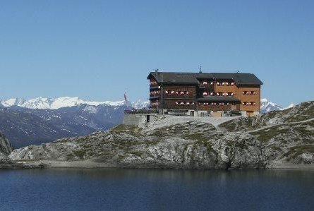
Permanently viewing the Grossglockner, the AV Weg 702 B leads from the Lucknerhaus for about 1 hour through the varied Koednitztal Valley (opportunities to observe marmots, chamois and ibex) to the Lucknerhuette and on the same route to the "Viehboeden" (junction Johann-Stuedl-Weg) and to the Stuedlhuette on the Fanot-Scharte.


The Stuedlhuette is the ideal and most frequently used starting point for climbing the Grossglockner.

Newsletter

Subscribe to our newsletter and receive the best tips every month for current offers, mountain tours, events and much more.