EN

Ski tours in Prägraten am Großvenediger

Ski touring paradise at the foot of the Großvenediger

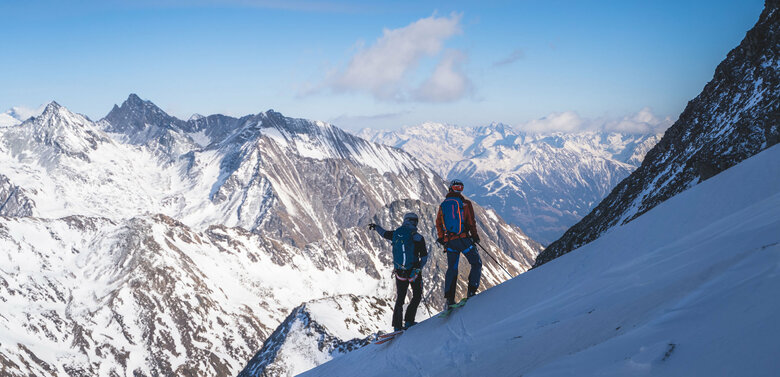
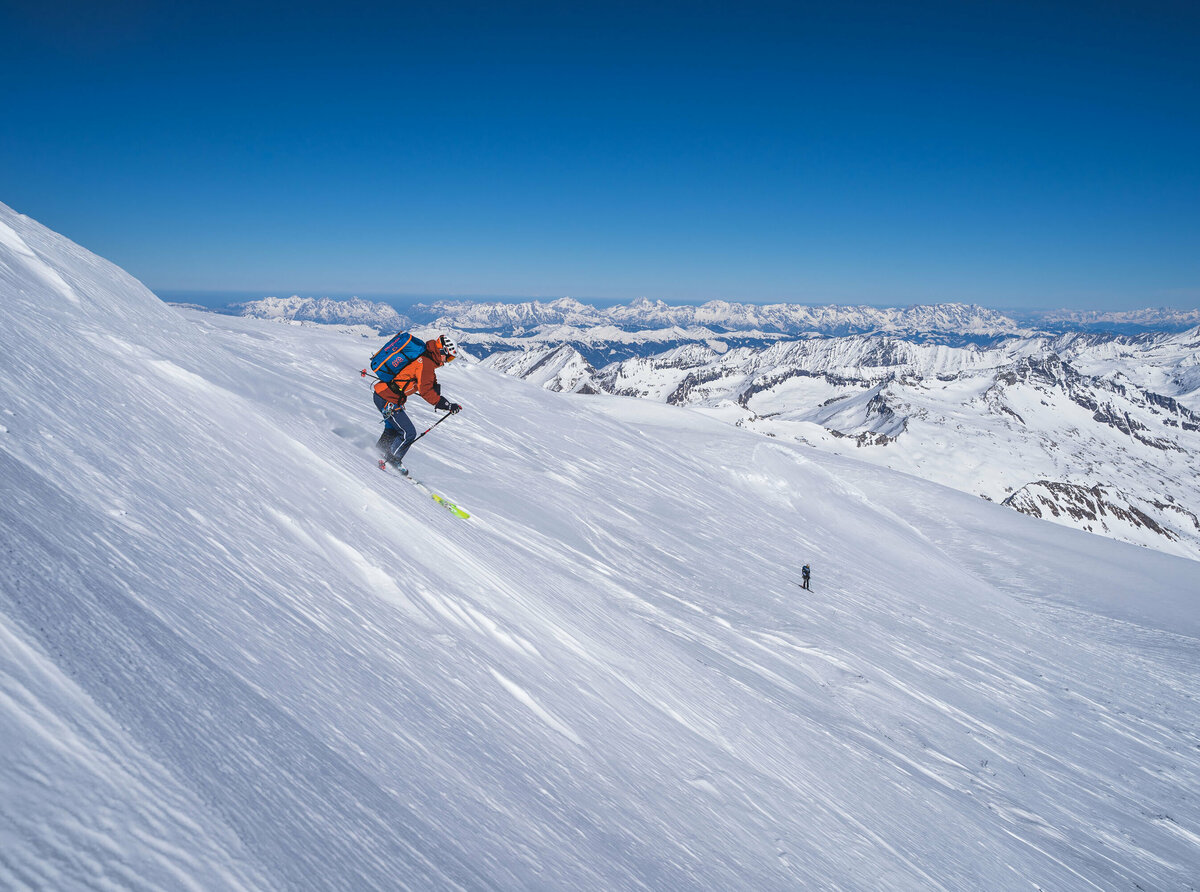
Prägraten am Großvenediger is a true ski touring paradise. You are spoilt for choice when it comes to touring destinations: Can it be a pleasant ski tour to the Wunalm (2.341 m )? Or do you prefer it more challenging? In this case a tour to the Lasörling (3.098 m) would be the right thing for you. If you are already a luminary in ski touring, go on the Ski route Hoch Tirol or on the Ski route Hoch Tirol plus. The Hochtour explores the Venediger and Glockner groups on six stages. 


In addition to a variety of routes, there are also some huts that open in the late winter months for ski tourers. With the Essener-Rostockerhütte, Johannishütte and Eisseehütte, there are 3 basecamps ready to shorten the ascent routes to the three-thousand-meter peaks such as Großvenediger, Dreiherrenspitze, Großer Geiger, Weißspitze, Simonyspitze or Mittlere Malhamspitze. 

The top priority for every tour is good tour planning, good equipment and your own safety. The Venediger mountain guides will be happy to assist you with your ski tour. 


In order to enjoy the skitour to the fullest, it is important to adhere to a few measures. The careful treatment of nature and wildlife has the highest priority. For this purpose, special steering measures for ski touring have been set up for the Virgental Valley. 

Ski routes in Prägraten am Großglockner

Wunalm 2.341m

starting point:
Prägraten -
destination point:
Wunalm
🔋
altitude meters uphill
915 hm
walking time uphill
2:30 h
distance
3.3 km

Hinterer Seekopf 3.234m

starting point:
Wallhorn / Prägraten
destination point:
Seeköpfe
🔋
altitude meters uphill
1820 hm
walking time uphill
6 h
distance
8.3 km

Mittlere Malhamspitze 3.360 m

starting point:
Essener-Rostockerhütte
destination point:
Mittl. Malhamspitze
🔋
altitude meters uphill
1980 hm
walking time uphill
6 h
distance
11.8 km

Berger Kogel 2.656m

starting point:
Parking spot March
destination point:
Berger Kogel
🔋
altitude meters uphill
1280 hm
walking time uphill
4 h
distance
5.5 km

Tulpspitze 3.054m

starting point:
Hinterbichl / Steinbruch Dorfertal
destination point:
Tulpspitze
🔋
altitude meters uphill
1560 hm
walking time uphill
5 h
distance
7.2 km

Weißspitze 3.300m

starting point:
Parkplatz Wallhorn 1.400 m
destination point:
Weißspitze 3.300 m
🔋
altitude meters uphill
1880 hm
walking time uphill
6 h
distance
9.1 km

Großer Geiger 3.360m

starting point:
Prägraten / Ströden (1.403 m)
destination point:
Großer Geiger
🔋
altitude meters uphill
1945 hm
walking time uphill
6 h
distance
10.5 km

Westliche Simonyspitze 3.481m

starting point:
Ströden / Hinterbichl
destination point:
Westliche Simonyspitze
🔋
altitude meters uphill
2010 hm
walking time uphill
7 h
distance
13.6 km

Großvenediger 3.657m

starting point:
Hinterbichl parking spot Wiesenkreuz
destination point:
Großvenediger 3.666 m
🔋
altitude meters uphill
2160 hm
walking time uphill
7 h
distance
13.3 km

Hoch Tirol

starting point:
Kasern / Südtirol
destination point:
Kals am Großglockner
🔋
altitude meters uphill
9230 hm
distance
92 km

Hoch Tirol plus

starting point:
Hinterbichl / Ströden
destination point:
Lucknerhaus
🔋
altitude meters uphill
10112 hm
distance
110 km
Newsletter

Subscribe to our newsletter and receive the best tips every month for current offers, mountain tours, events and much more.