Winter hiking trail Ralsrunde

Moderately difficult hike in Obertilliach

The most important at a glance

distance
5.2 km
altitude meters uphill
🔋
178 m
altitude meters downhill
🔋
195 m
total walking time
1:45 h
highest point
🞍
1446 m
difficulty
🞽
average
fitness:

* * * * *

🞙🞙🞙🞙🞙

technique:

* * * * *

🞙🞙🞙🞙🞙

starting point:
Bushaltestelle Obertilliach/Ort - Feldweg nach Bergen
destination point:
Wie Ausgangspunkt
best season:
JAN, FEB, MAR, DEC
route typ:
circuit

arrival

Stop

Obertilliach Ort

Obertilliach Bergen

Obertilliach Abzw Rals

Parking spot

Car park Gondelbahn Obertillliach 1.450m

altitude profile

Pdf file

Gpx file

Interactive map

Current weather conditions

Sonne-02.png

7°C/45°F °C

Description

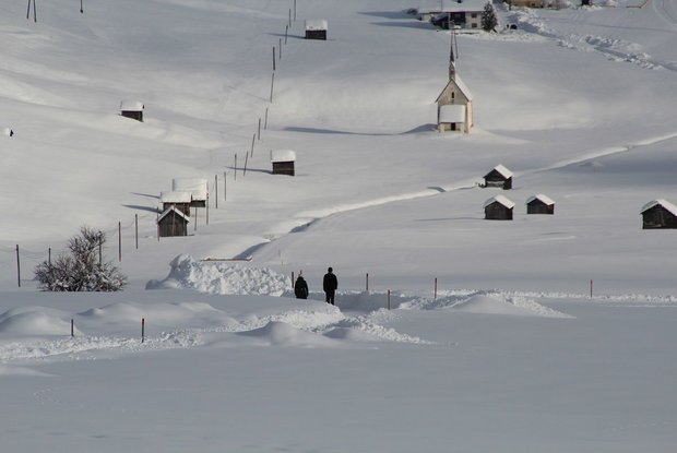
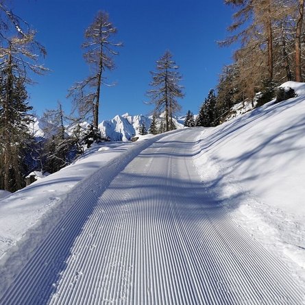
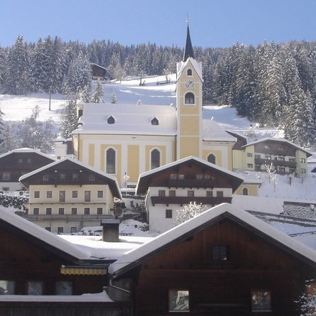
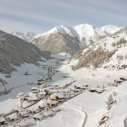
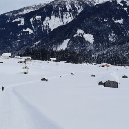
From the village of Obertilliach via the initially cleared winter hiking trail to Bergen. After approx. 300 metres at the fork in the road, continue right along the cleared winter hiking trail through the Tilliach fields in the direction of Bergen. Take the road subway there, walk northwards along the municipal road until just before the bridge over the Gärberbach and follow the signposts along the prepared path - a little steeper in places - to Rals. Stop for refreshments at the Mitterdorfer snack station in Rals. Return to the village via the municipal road or the last 600 metres via the main road to Obertilliach.

Newsletter

Subscribe to our newsletter and receive the best tips every month for current offers, mountain tours, events and much more.