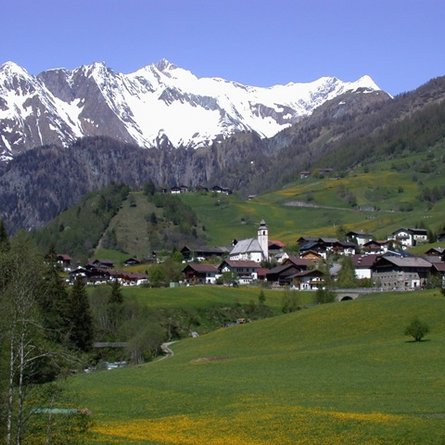
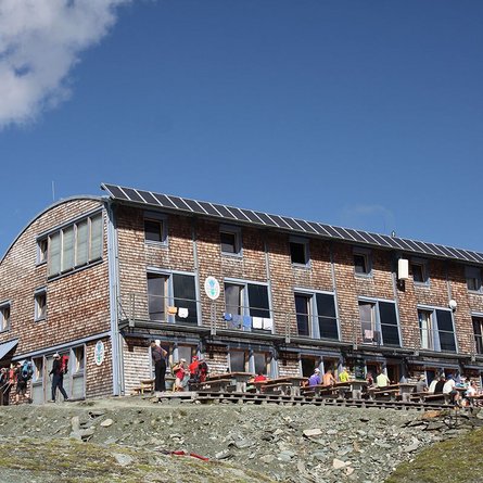
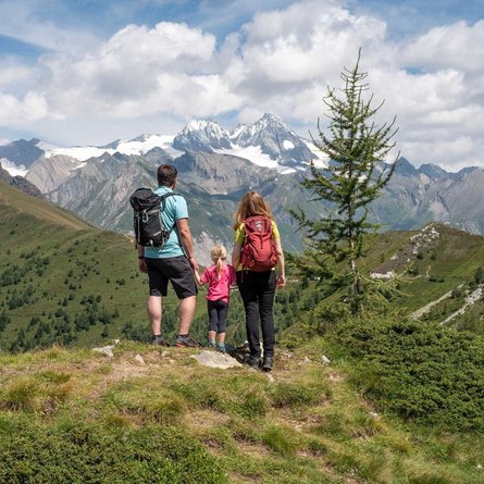
Starting from Ströden carpark, which is also conveniently accessible by post bus, this short but interesting hiking tour to Islitzer Alm on 1513 metres above sea level begins. Most of the broad driveway is even but at about half-way you will have to master a steeper section. Here, you will also come to a vantage point where you can see River Isel’s waters falling down impressively.
Islitzer Alm is a popular easy-to-get-to excursion destination and also serves as stop on extended tours to Clara Hütte or Neue Reichenberger Hütte. Particularly impressive is the waterfall observation circuit at River Isel that lead to the Umball Waterfalls in just a few walking minutes.
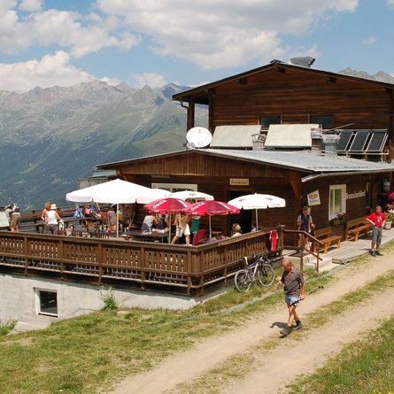
On Islitzer Alm you can enjoy coffee and cake, hearty snacks and other specialties. A playground right in front of the mountain farm make this excursion great fun also for children.


