Hiking tour to Clarahütte

The most important at a glance

distance
14.2 km
altitude meters uphill
🔋
645 m
altitude meters downhill
🔋
630 m
walking time uphill
3 h
walking time downhill
2:30 h
total walking time
5:30 h
highest point
🞍
2037 m
difficulty
🞽
average
fitness:
* * * * *
🞙🞙🞙🞙🞙
technique:
* * * * *
🞙🞙🞙🞙🞙
starting point:
Parkplatz Ströden
destination point:
Parkplatz Ströden
best season:
JUN, JUL, AUG, SEP

arrival

Car park
Car park Ströden 1.400m

hut/alpine hut

altitude profile

Pdf file

Gpx file

Interactive map

Current weather conditions

Sonne-05.png
7°C/45°F °C

Description

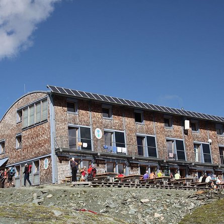
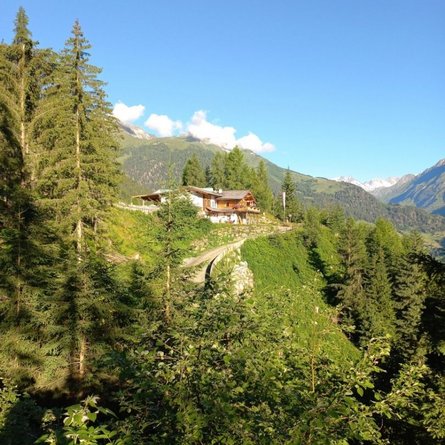
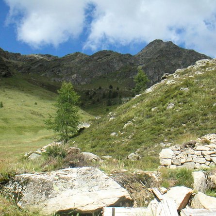
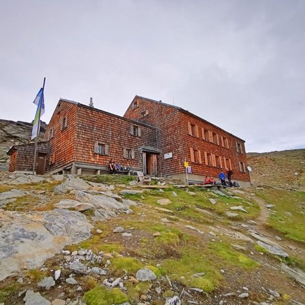
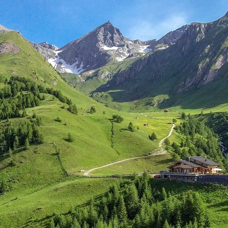
This beautiful hike’s starting point is Ströden carpark. First you walk along the broad driveway all the way to Islitzeralm where a hiking path to the Umball Waterfalls begins on the right. Then follow the path which features a few stages until you get to a big meadow. Here the path branches off. Follow the path on the left all the way to Clarahütte. Here you can enjoy the breath-taking view onto Rötspitze from the sun terrace above the glacial stream while you’re having a snack or coffee and cake.

Newsletter

Subscribe to our newsletter and receive the best tips every month for current offers, mountain tours, events and much more.