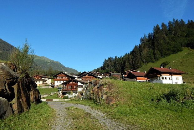
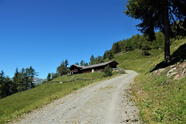
Starting in the centre of Hopfgarten, the hiking trail leads eastwards via the avalanche gallery and the old church path up to the mountain farming settlement of Ratzell. From Ratzell we reach the picturesquely situated Glanzalm mountain pasture, which offers culinary delicacies from their own production.
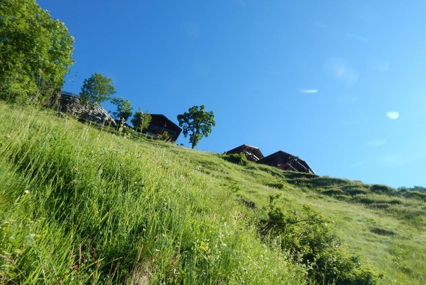
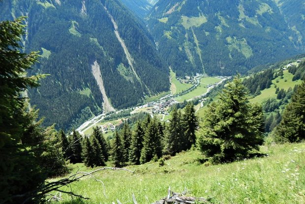
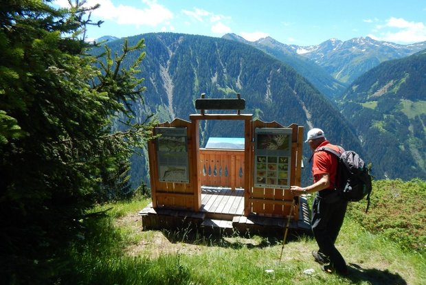
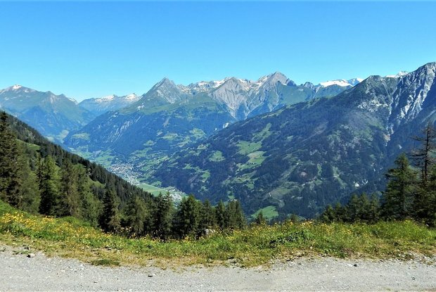
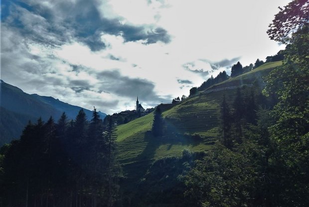
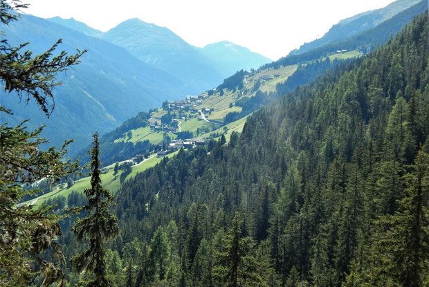
Via the Ratzeller mountain meadows you now descend again to the Mösern, where you follow the signs saying "Im Reich des Apollo" (in Apollo’s realm). This educational and panoramic trail is dedicated to the Apollo butterfly, a rare, strictly protected butterfly that is native to the Hohe Tauern National Park. The path leads us on the sunny side over lush, colourful butterfly meadows, offering a fabulous panorama of the Defereggen Valley with its villages, peaks and mountain pastures. You then continue on the Apollo trail, slightly downhill over meadows and through woods. After the third ditch crossing, you will follow a short cut uphill until you reach a forest road. Continue along this forest road until you reach the first houses in the village of Hof, where the forest road turns into an asphalt road. Passing under the church, take the upper road further west, on which you will reach the Maschlerhof after about 400m.
From the Maschlerhof you follow the asphalt road into the valley to the hamlet of Lerch. Take the forest path and cross the Birkerbach brook. While hiking through the forests and cultivated landscape, you will also encounter solitary farmsteads. Where today there are meadows and pastures, there were fields up to an altitude of 1,700m until the 1960s. Particularly during the years between the wars when there was a scarcity of food, the steep sunny slopes were used for growing grain and potatoes.
Via the Güterweg path you continue through the mountain farming landscape into the valley until you cross the Moosbachgraben by way of a short gallery. Leave the Güterweg path immediately after the last houses in the village of Görtschach and turn uphill onto trail 19, which climbs gently through spruce forests. The trail continues to the idyllic hamlet of Außeregg, where you turn into the municipal road. Now there are still about 100 metres of altitude difference before you reach the stage goal, the church village of St. Veit, the centre of the highest situated community in East Tyrol.
Note: You can extend this stage by climbing up to the Mellitzalm mountain pasture.
