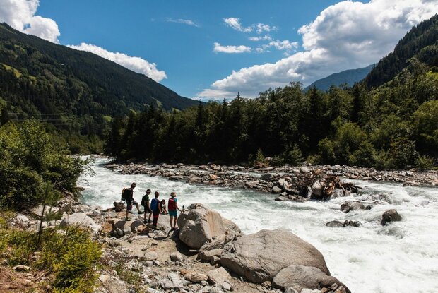
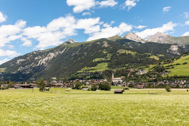
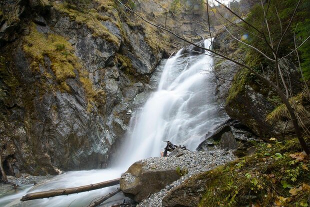
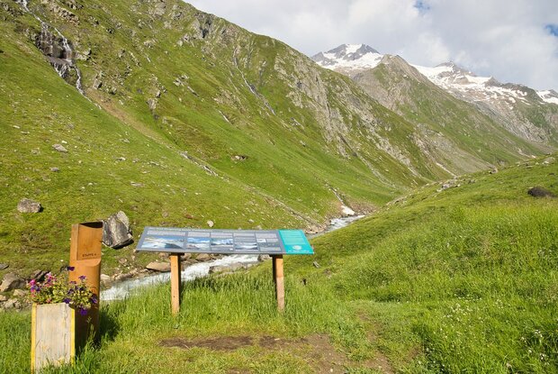
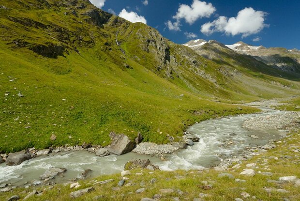
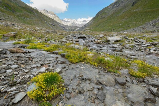
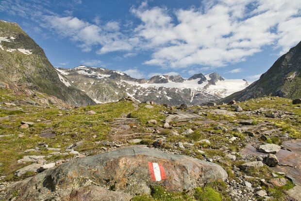
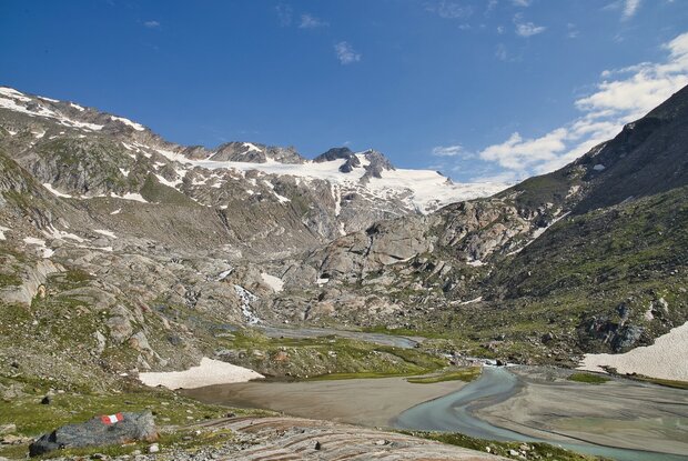
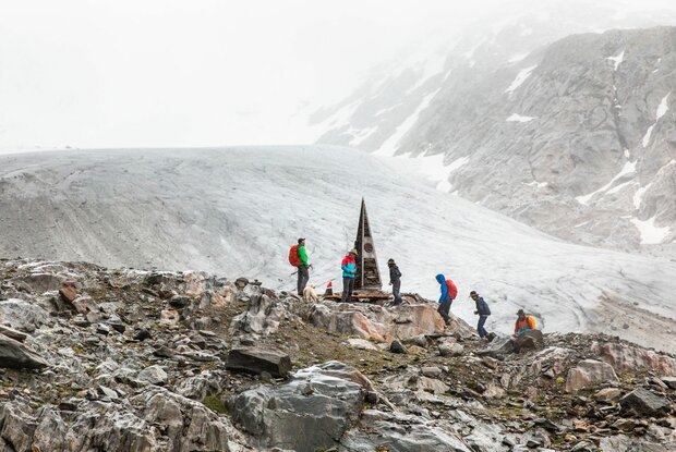
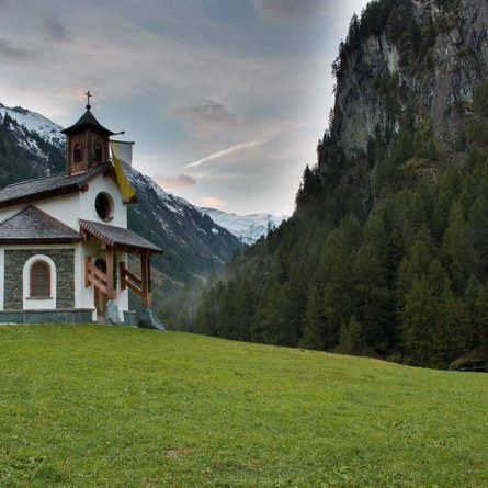
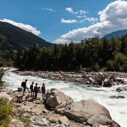
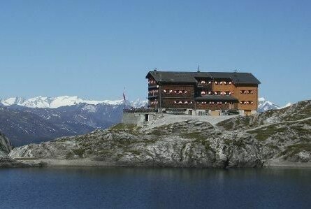
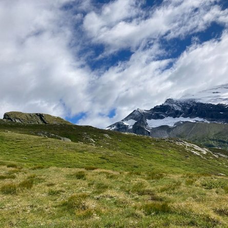
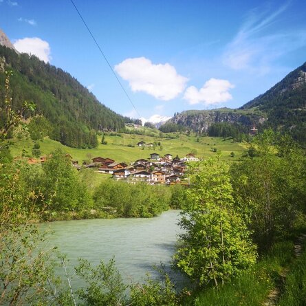
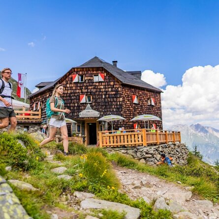
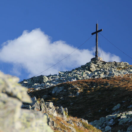
From the sunny Dolomite's town of Lienz in the green valley floor to the arctic glacier gate in the National Park Hohe Tauern. From lovely cultivated landscape to secluded alpine wilderness. Always accompanied by the refreshing primal element of water, past floodplains, gravel banks, gorges, rapids and waterfalls: The Iseltrail exposes the pulsating lifeline of Osttirol as a conveyor belt of fabulously unspoiled natural beauty. And nature enthusiasts - even without alpine experience - a magnificent mountain world at the feet. Sometimes calmly rushing past picturesque sceneries, sometimes dramatically roaring in unbridled temperament, sometimes mysteriously gushing, the river shows itself with many faces. Whether nature lover, pleasure hiker, wilderness fan or heat seeker: follow your river.
The Iseltrail is divided into sections of varying lengths, each of which runs between villages with opportunities for refreshments and overnight stays. The Iseltrail can therefore be walked quite flexibly - depending on your mood, condition, need for recreation or joy of riding out. Below you will find a suggestion for 5 stages!
