Winter hiking in Sillian

Where winter fairy tales come true

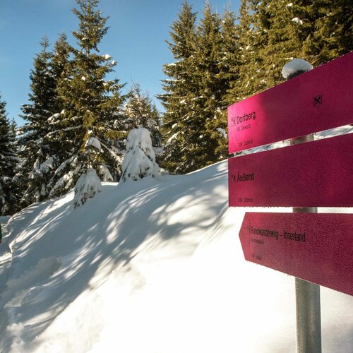
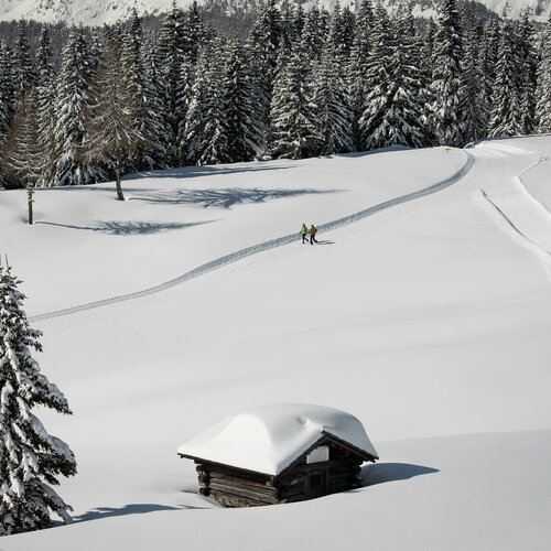
Those who prefer to enjoy winter on solid ground underfoot will find a variety of perfectly groomed winter hiking trails in Hochpustertal. Whether a relaxed walk through the valley floor or an extended tour with a leisurely stop for refreshments - winter hiking in Hochpustertal combines exercise, experiencing nature and tranquillity in a special way. Just two municipalities away is Kartitsch, Austria'sfirst winter hiking village, a true paradise for connoisseurs and those seeking peace and quiet.

Popular winter hiking tours in Hochpustertal

Drau dam

Easy winter hike along the Drau

The Draudamm winter hiking trail leads from the border with Italy in Arnbach to Tassenbach along the Drau river. Embedded in the snow-covered winter landscape of the Hochpustertal, the route is almost flat and is therefore ideal for leisurely walks, winter hikes with the family or as a training route for Nordic walkers.

Drau dam

starting point:
Arnbach
destination point:
Tassenbach
highest point:
500 m
distance
4000 km
🔋
altitude meters uphill
300 hm
🞽
difficulty
easy

Kartitsch village mountain

The longest stage in the winter hiking village of Kartitsch is the Dorfberg long-distance hiking trail, which is just under 12 kilometers long
The starting point is the parking lot in St. Oswald, at 1,360 meters above sea level. The hiking trail leads along the municipal road to the Dorfberg lift, where you join the long-distance hiking trail in the direction of Dorfberg.

state: closed

Dorfberg

starting point:
Car park St. Oswald
destination point:
Bus stop Kartitsch
highest point:
1850 m
total walking time
5 h
distance
12 km
🔋
altitude meters uphill
680 hm
🞽
difficulty
difficult

Hollbruckertalweg

Moderate winter hike into the Hollbruckertal valley

The starting point is the parking lot in Hollbruck near the Maria Hilf pilgrimage church. The trail leads past the Schneiderhöfe farms into the Hollbruckertal valley and back again. There is a wonderful panoramic view of the main Carnic Alpine ridge.

state: closed

Hollbruckertalweg

starting point:
car park Hollbruck
destination point:
car park Hollbruck
highest point:
1439 m
total walking time
1:30 h
distance
3.1 km
🔋
altitude meters uphill
80 hm
🞽
difficulty
average

Out and about with the ranger

Want to get closer to nature than ever before? The guided tours with the national park ranger will open your eyes. The unique ecosystem of the fascinating wilderness is explored in detail by the National Park and the rangers give you an understanding of the complex interrelationships of nature.


Book your vacation in the Nationalpark Hohe Tauern now

Winter hiking stories

You might also like this

Der Sonne entgegen - Skizentrum Sillian Hochpustertal
Sillian Hochpustertal ski center

The Sillian-Hochpustertal ski center is a real insider tip for skiers looking for variety and peace and quiet: Perfectly groomed pistes, modern lifts and impressive views of the Dolomites await you here.

Zwei Langläufer:innen beim Langlaufen auf der Granzlandloipe
Cross-country skiing in Sillian

Hochpustertal offers perfectly groomed cross-country trails amidst a fantastic mountain backdrop - ideal for classic cross-country skiing and skating alike.

Newsletter

Subscribe to our newsletter and receive the best tips every month for current offers, mountain tours, events and much more.