Hiking in Sillian

Enjoy nature in Hochpustertal

Sillian is a true paradise for hiking enthusiasts. Whether leisurely walks in the valley, panoramic high-altitude trails or challenging summit tours - everyone will find their perfect route here.Marked hiking trails, mountain huts and breathtaking panoramic views of the Dolomites make Sillian an ideal starting point for unforgettable nature experiences. Family-friendly routes, themed trails and the proximity to the Hochpustertal mountain lifts on the Thurntalerensure that beginners and children also get their money's worth.

back
Next
Wandern am Thurntaler
Sillianer Hütte

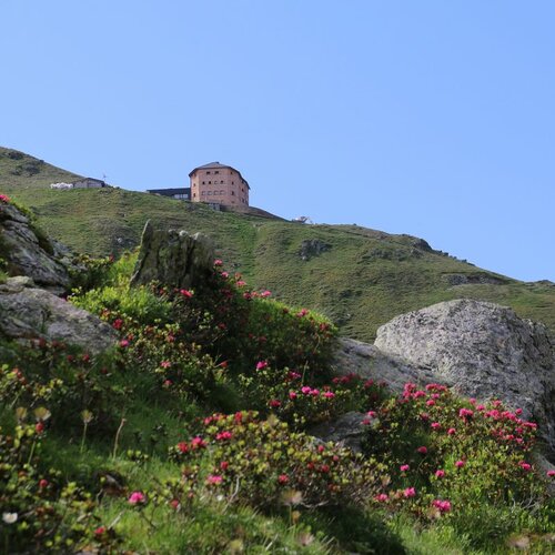
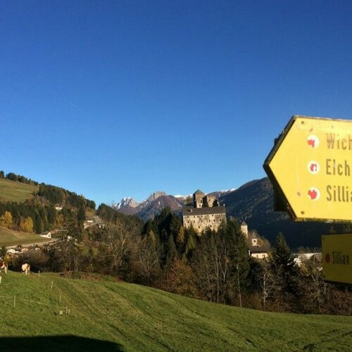
Thanks to the wide range of tours and excellent infrastructure, Sillian is a popular destination for active vacationers and nature lovers at any time of year. Numerous refreshment stops along the way invite you to take a break and indulge in regional delicacies. Guided hikes and nature experience days also offer exciting insights into flora, fauna and Alpine traditions. Our tip: With the Osttirol Card , you have free admission to the Wichtelpark and Heinfels Castle every day and can use the Hochpustertal cable cars once.
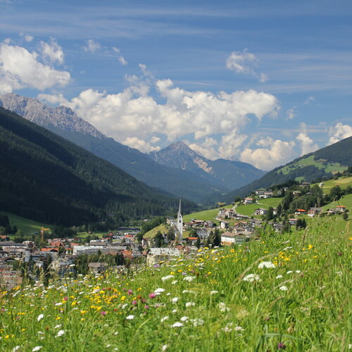
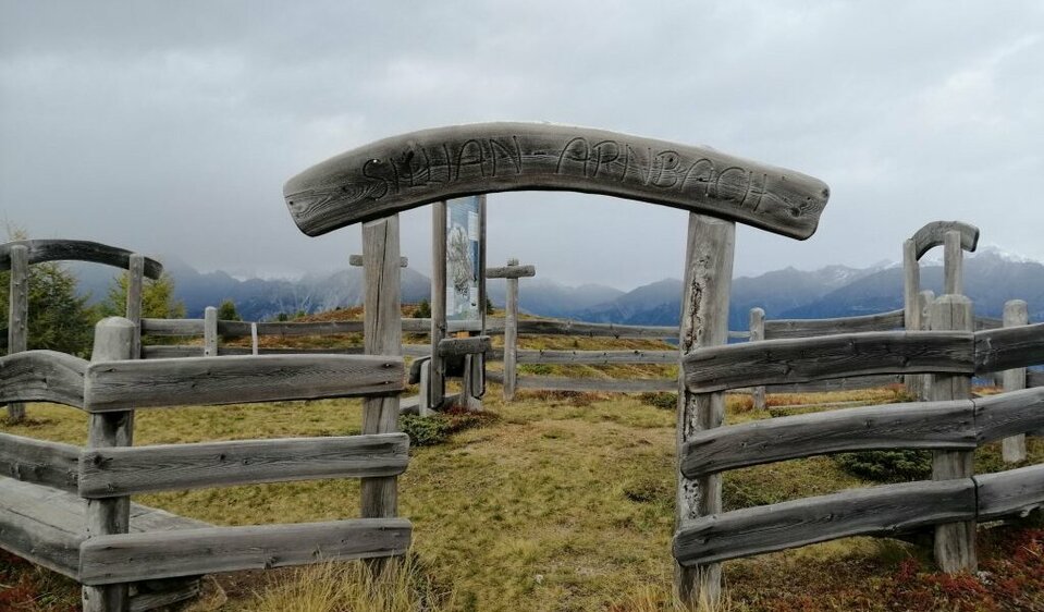
 

Hikes

easy hikes

Carnic altitude trail. Stage 1: Arnbach - Sillianer Hütte

starting point:
Dorfzentrum Sillian
destination point:
Sillianer Hütte
highest point:
2447 m
distance
9.5 km
🔋
altitude meters uphill
1350 hm
🞽
difficulty
easy

Around the Thurntaler

starting point:
Mountain rescue hut cable railway Thurntaler
destination point:
Mountain rescue hut cable railway Thurntaler
highest point:
509 m
total walking time
3:30 h
distance
9.8 km
🔋
altitude meters uphill
460 hm
🞽
difficulty
easy

Eichhörnchenweg

starting point:
Sillian centre
destination point:
Sillian centre
highest point:
1250 m
total walking time
55 min
distance
7 km
🔋
altitude meters uphill
100 hm
🞽
difficulty
easy

3 lakes at the Thurntaler

starting point:
Cable car Thurntaler
destination point:
3 Seen
highest point:
2270 m
total walking time
1:30 h
distance
3 km
🔋
altitude meters uphill
170 hm
🞽
difficulty
easy

moderately difficult hikes

Thurntaler 2400

starting point:
Stalpen / Sillian
destination point:
Thurntaler 2.400 m
highest point:
2400 m
total walking time
7 h
distance
14 km
🔋
altitude meters uphill
1330 hm
🞽
difficulty
average

Alpine refuge Sillianer Hütte

starting point:
Almhütte Leckfeldalm
destination point:
Sillianer Hütte
highest point:
2447 m
total walking time
3 h
distance
5.9 km
🔋
altitude meters uphill
520 hm
🞽
difficulty
average

Carnic altitude trail. Stage 2: Sillianer Hütte- Obstansersee Hütte

starting point:
Sillianer Hütte
destination point:
Obstansersee Hütte 2304m
highest point:
2644 m
distance
8.7 km
🔋
altitude meters uphill
503 hm
🞽
difficulty
average

difficult hikes

Heimkehrerkreuz 2,373 m

starting point:
Leckfeldalm Hütte
destination point:
Heimkehrerkreuz
highest point:
2352 m
total walking time
3 h
distance
5.6 km
🔋
altitude meters uphill
450 hm
🞽
difficulty
difficult

Long-distance hiking trails

Embark on a journey on foot and get to know the mountains and valleys up close along various routes. The magnificent views, the fresh air, the exercise and the refreshments in huts, mountain pastures and inns all combine to make long-distance hiking an unforgettable experience.

The "Karnischer Höhenweg" trail

11 huts - 30 easy hiking peaks - "Path of peace" no. 403

The "Karnischer Höhenweg" trail or "Friedensweg" (KHW 403) leads along the entire Carnic ridge, which runs along the border between Austria and Italy. It is 150 km long from Sillian to Arnoldstein (approx. 105 km as the crow flies), which is divided into 8-11 daily stages and can be completed in a total walking time of 26 hours.

Carnic altitude trail

starting point:
Dorfzentrum Sillian
highest point:
2678 m
total walking time
26:50 h
distance
150 km
🔋
altitude meters uphill
9100 hm
🞽
difficulty
average

Höfe Trail

Close to life

The Höfe Trail is Austria's first long-distance hiking trail tailored to the needs of families who enjoy hiking . It opens up the diverse and natural mountain farming landscape of the Gail and Lesach valleys in Osttirol over five moderate daily stages on gentle paths.

The Höfe Trail

starting point:
Bahnhof Sillian
destination point:
Dorfzentrum Kartitsch
highest point:
1620 m
total walking time
10:15 h
distance
50.6 km
🔋
altitude meters uphill
1882 hm
🞽
difficulty
easy

Stories from Sillian

Newsletter

Subscribe to our newsletter and receive the best tips every month for current offers, mountain tours, events and much more.