EN

Petzeck

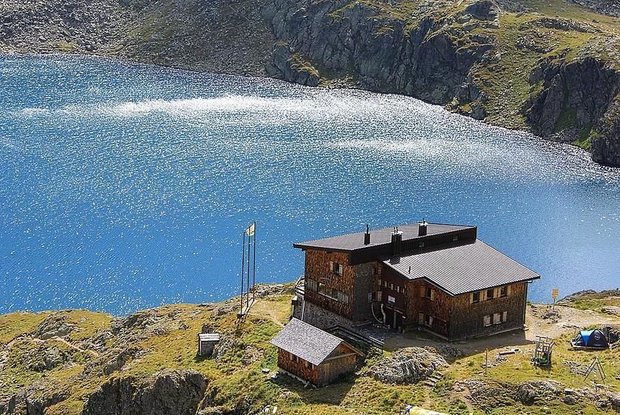
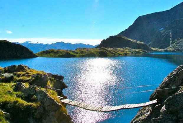
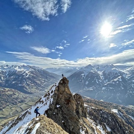
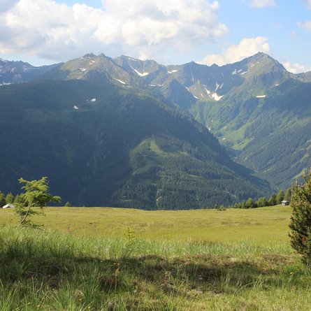
The Petzeck is the highest mountain in the Schober group, yet technically, it is one of the easier three-thousand metre mountains of this rugged mountain group. The ascent passes the largest mountain lakes in Carinthia, the dreamily located Wangenitzsee and Kreuzsee.

The most important at a glance

distance
16.6 km
altitude meters uphill
🔋
1690 m
altitude meters downhill
🔋
137 m
walking time uphill
6 h
walking time downhill
4 h
total walking time
10 h
highest point
🞍
3270 m
difficulty
🞽
difficult
fitness:
* * * * *
🞙🞙🞙🞙🞙
technique:
* * * * *
🞙🞙🞙🞙🞙
public transport:

Donnerstags und Samstags mit dem Wanderbus bis zum Parkplatz Seichenbrunn.

parking:

Parkplatz Seichenbrunn

starting point:
Parkplatz Seichenbrunn
destination point:
Petzeck
best season:
MAY, JUN, JUL, AUG, SEP

arrival

Car park
Car park Seichenbrunn

hut/alpine hut

altitude profile

Pdf file

Gpx file

Interactive map

Current weather conditions

Regen-01-05.png
8°C/46°F °C

Description

From Seichenbrunn car park, bear right, crossing Debantbach and take the well signposted route via the lower wind gap area between Kreuzsee and Wangenitzsee to the Wangenitzseehütte. The signposted path there proceeds east initially past a climbing section (steel cable secured), then in a northerly direction, on a path which is steep in parts, finally featuring via glacier remains, soaring up to the highest summit in the Schober group.

Newsletter

Subscribe to our newsletter and receive the best tips every month for current offers, mountain tours, events and much more.