Skip to content

Lucknerhaus circuit No. 117

The most important at a glance

distance
12.8 km
altitude meters uphill
🔋
584 m
altitude meters downhill
🔋
570 m
highest point
🞍
1910 m
difficulty
🞽
average
circuit
🞍
no
fitness:

* * * * *

🞙🞙🞙🞙🞙

technique:

* * * * *

🞙🞙🞙🞙🞙

public transport:

Kals a.G. Gemeindeamt

parking:

Parkplatz Kals Zentrum

starting point:
Kals am Großglockner (1330m)
destination point:
Kals (1330m)
best season:
MAY, JUN, JUL, AUG, SEP, OCT

arrival

Stop

Kals am Großglockner Gemeindeamt

Parking spot

Car park Kals centre

altitude profile

Pdf file

Gpx file

Interactive map

Current weather conditions

Sonne-01.png

28°C/82°F °C

Description

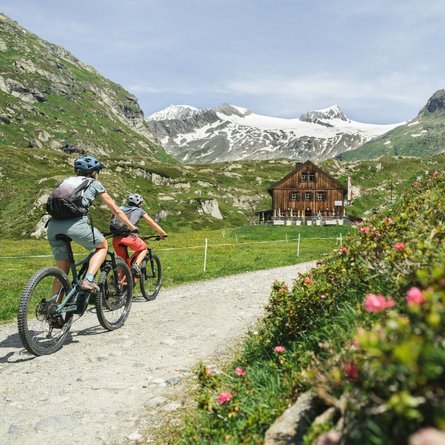
From the center of Kals, right next to the Mpreis supermarket, drive past the white Schützendenkmal monument, between the houses on the left onto a narrow asphalt road, then turn left uphill towards Glor. In Glor, after the last house on the left, the old Lucknerhausstraße (steeply ascending forest road) begins, leading to the junction with the new Kalser Glocknerstraße (asphalted). Here, turn right onto the asphalted Lucknerhausstraße, continue for about 1 km to the Glocknerwinkel car park and cross the bridge on the left to the Alpengasthof Lucknerhaus.

Title

Text