EN

Klausenberg circuit No. 124

Medium-difficulty mountain bike tour in the Thal region

The most important at a glance

distance
18.8 km
altitude meters uphill
🔋
850 m
highest point
🞍
1589 m
difficulty
🞽
average
circuit
🞍
yes
fitness:
* * * * *
🞙🞙🞙🞙🞙
technique:
* * * * *
🞙🞙🞙🞙🞙
starting point:
Assling-Sportzentrum Thal (800m)
destination point:
Sportzentrum Thal (800m)

arrival

Car park
Parkplatz Schwimmbad Thal

altitude profile

Pdf file

Gpx file

Interactive map

Current weather conditions

Schnee-00-02-07.png
0°C/32°F °C

Description

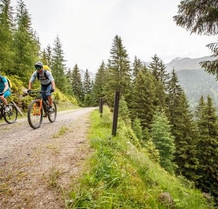
The route proceeds from the sports centre in Thal via the rural road to Wilfernertal and Weiße Mühle. From there head for Penzendorf and up to the woodland area. The descent continues via Schrottendorf and Bannberg, with access to the Hochstein circuit, up to the main road and via the bike trail back to Thal sports ground.

Newsletter

Subscribe to our newsletter and receive the best tips every month for current offers, mountain tours, events and much more.