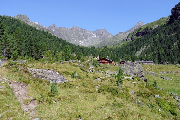
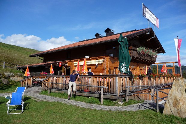
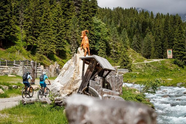
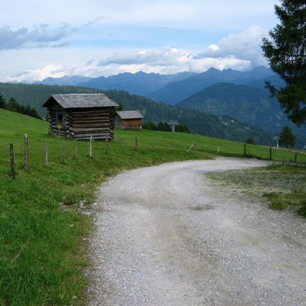
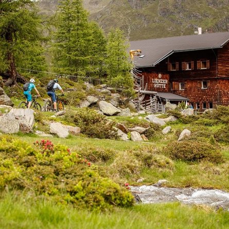
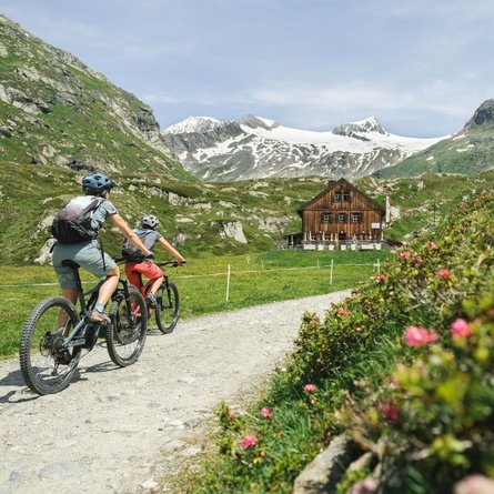
Far from East Tyrol's busy capital, Lienzer Hütte - a real gem - is situated at the end of the inner Debant Valley amidst a varied landscape with unusual flora and fauna. While on this tour, cyclists always enjoy a view onto the interesting landscape around Glödis, they ride through the pristine world of Hohe Tauern National Park.
Starting from Hauptplatz (main square) in Lienz, the way leads to Nußdorf Debant. From there on, you will cycle along a paved path that first ascends strongly, then moderately and leads you into Debant Valley. The path provides many views onto Lienzer Talboden (valley floor), the Dolomites, and Hohe Tauern National Park. From Nussdorfer-Bridge (where you can detour to Lienzer Hütte), you will cycle along the western mountainside on a moderately ascending gravel path until you are below the Faschingalm - this is the tour’s highest point. From here on, a tarmac road leads to Gaimberg (Zettersfeld - valley station).
