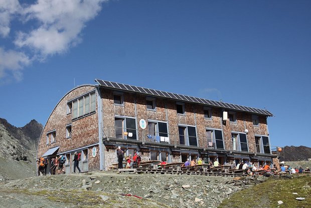
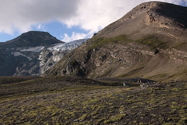
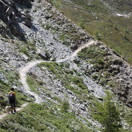
From the Dorfertal car park, via the Moa-Alm-Strasse (alpine road), you come to the Teischnitzbach bridge, where a forest path branches off to the right and leads up to the Teischnitzebene Plains, from where you can enjoy an interesting view of the Teischnitz glacier and the Glocknerwand. After the gorge, the trail begins and leads up to the Stuedlhuette on the right side of the slope. For hikers without the opportunity to travel, a hiking trail leads from the Taurer (post bus stop) up to the Teischnitzbach bridge.
Also possible as a circular tour- Descent via the Lucknerhuette in Koednitztal and to the Lucknerhaus (post bus stop). Walking time descent Stuedlhuette - Lucknerhaus - 2 hours;
