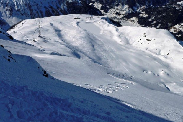
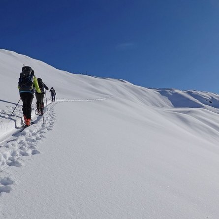
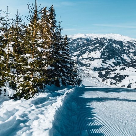
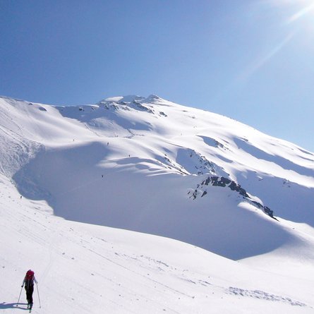
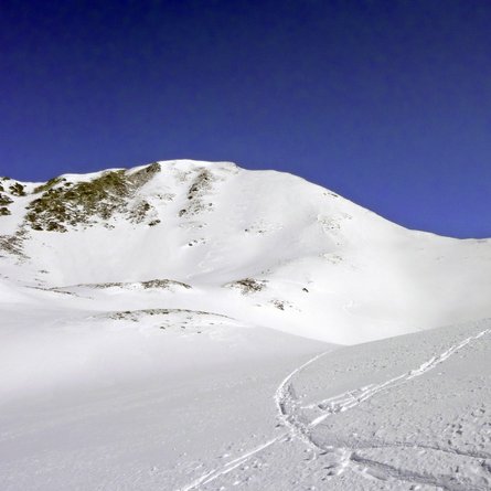
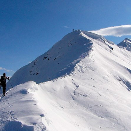
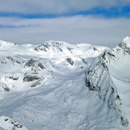
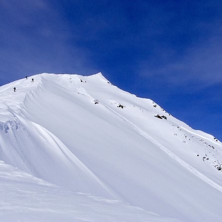
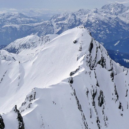
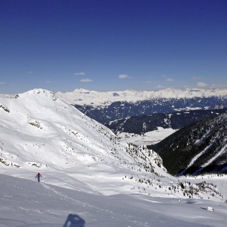
The Leppleskofel dominated the skiing hub of St. Jakob i. Def. and is climbed with the help of the ski lifts from the ski area below. The same thing applies to the Hochleitenspitze in the south-east. Both mountains await with long descents into the adjoining alpine valleys, which, depending on the conditions, are also frequented by numerous variant skiers. Starting point is the skiing hub of St. Jakob i. Def. We start the tour by using the cable car which ends at the mountain station for the Moosberglift (2370 m). It is also possible to delay a few more metres altitude with a bit of ‘ski area transit’ and get to a maximum altitude of 2525m on the Almspitz T-bar lift. From the Moosberg mountain station the ascent via the ski pistes now proceeds to just below the highest point of the ski area, before we cross a wide trough in a south-easterly direction, directly to the right, next to the western ridge of the Leppleskofel. Via this we proceed in hairpin bends providing plenty of view up in a level area at the ridge between 2600 m – 2700 m. The terrain becomes increasingly steep here and you have to carry your skis on your rucksack. Via the ridge, which now narrows, proceed, mindful of cornices, up to the highest point which has a nice cross, in 30 – 45 minutes. The descent follows directly from the summit, via the north-facing flanks (summit slope around 35°) into Leppetal (see photo). Via a steep section we come to a „flat area“, which we leave at between 2050 m and 2000m, bearing right to Leppetalalm. We go around the steep, funnel-shaped trench to the east. Don’t cross this and head up to the inn, but swing off before here via a light forest fosse into the valley. At around 1720 m we then come to the bend of the Leppetal toboggan run. We take this and head to Feistritz, where our descent ends at Hotel Deferegger Hof. The return route to the valley station can either be taken by bus or via a short counter climb (100 m altitude) via the ski route.
Additional ski tour tips can be obtained in the ski tour guides by Thomas Mariacher. These are available here: http://www.grafikzloebl.at/verlag/buecher/
