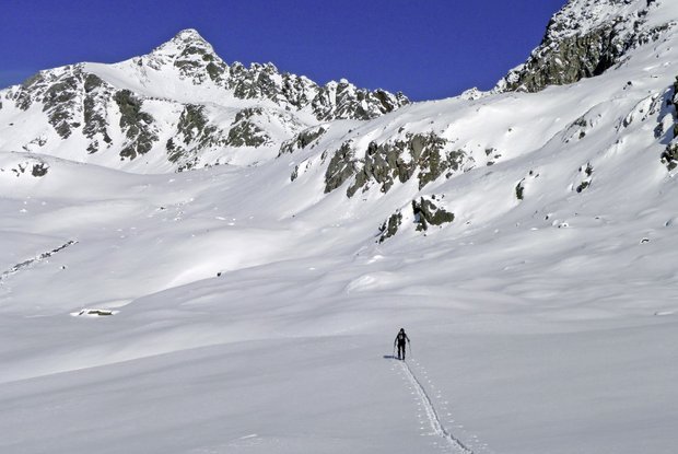
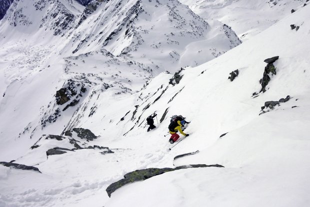
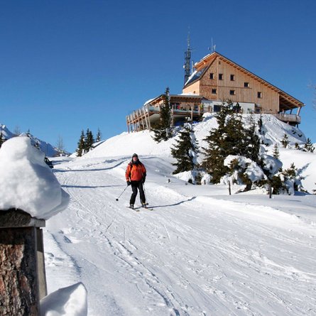
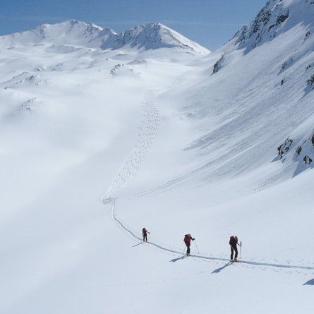
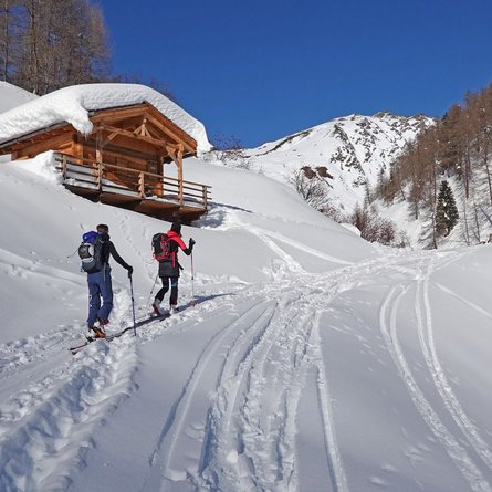
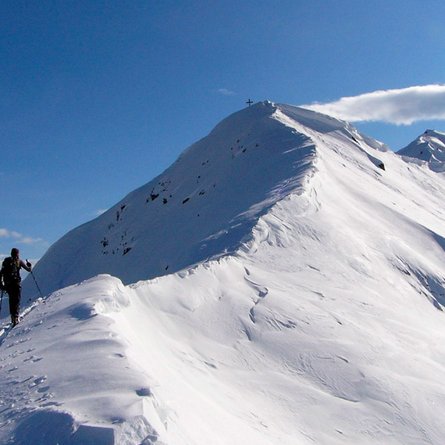
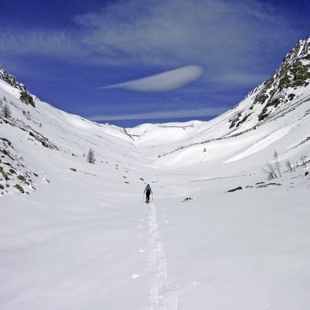
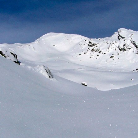
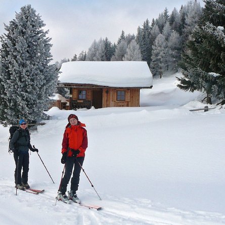
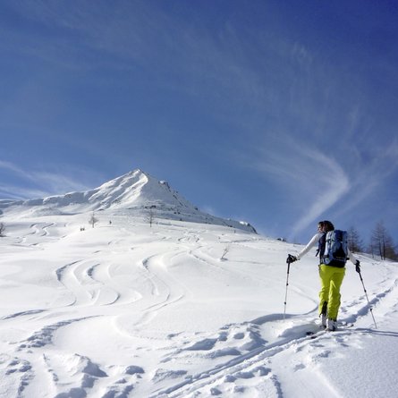
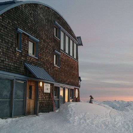
Wild, rugged and above all else, secluded – that is the three-thousand metre mountains of the Panargenkamm. Included among the southern foothills of this mountain range are the ski-friendly Kauschkahorn and the Seespitze, which provides superb, extensive trough terrain to just beneath the highest point. The broad summit has to be scaled via a short, exposed ridge; practice in climbing with ski skins is required and is the reserve of experienced walkers. The starting point for our tour is the Innerberg farms (1712 m, guesthouse). We get here via a narrow mountain road which branches off to the right shortly after the start of the town of St. Jakob (Intersport) and proceeds on the sunny side to the highest located farmhouses (around 3 km). Route signposts now guide us via a wide forest trail, which is later used on the descent, before we leave this and proceed along the summer trail to Seespitzhütte. Should there be too little snow on the path, the forest trail may be truncated at a suitable point via the sparse tree area. At the forest limit, the path once again ends on a forest road (1940 m) and we climb in a north-westerly direction along the summer trail in the wide mountain slopes which are on the sunny side. Here we do not cross via the flanks, which become steeper, to the inn, rather in the run-up area we climb up at around 2100 m via a flatter section of slope north via the Oberberg. Our destination is the distinct ridge which has an impressive boulder area to the east of the Seespitzhütte, which is tackled via a short steep slope (S <30°). See photo. At around 2400 m the track swings via flat terrain, passing a stunning cairn to Oberseitsee (2576 m), which we cleverly go around via the east side in a loop, through a little secondary valley. Via moderately steep slopes we get to the summit area of the Seespitze. There follows an often deceptively wind-swept steep slope (east, 35°), which brings us in hairpin bends on the wide shoulder beneath the southern ridge (ski storage area). In exposed, partly deep snow area we climb to the finish via steep channel to the wide summit which has a cross (100m altitude, I-II). The less proficient should be careful here! Descent along the ascent track.
Additional ski tour tips can be obtained in the ski tour guides by Thomas Mariacher. These are available here: www.grafikzloebl.at/verlag/buecher/
