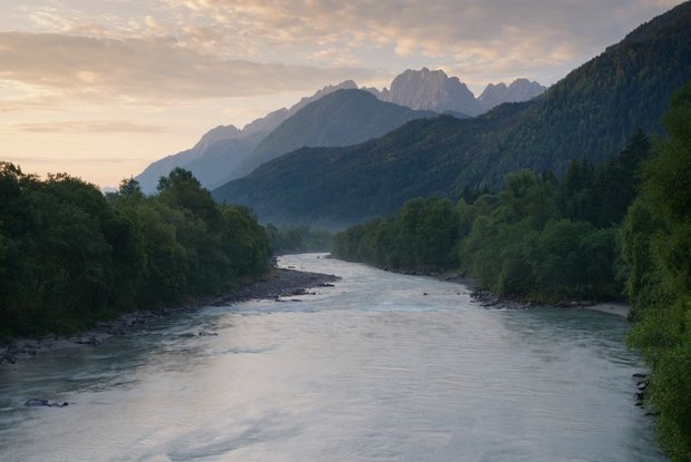
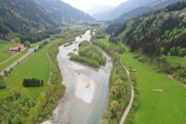
The Iseltrail begins in the so-called Dolomite town Lienz and initially accompanies the rather calm-flowing lower Isel with its islands, sandy beaches and gravel banks, which are often overgrown with the (rare and protected) German tamarisk.
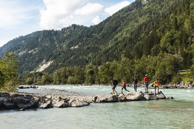
At the "Katzensteig", shortly after the Iseltrail entrance under castle Schloss Bruck, and opposite Oberlienz, there are beautiful views of the Isel and the high mountains. Again and again there are idyllic spots on the banks where you can take a break.
In Ainet you can get something to eat and spend the night.
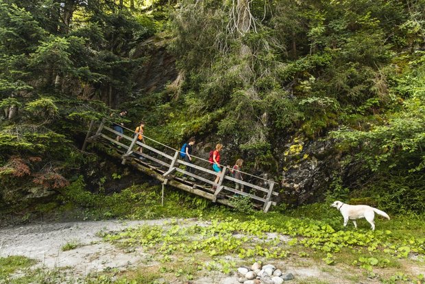
A few kilometres upstream, only a few minutes' walk from the Iseltrail, the waterfall Dabererwasserfall shoots through a cool and shady forest gorge. From the waterfall it is only a stone's throw to Schlaiten, where you can eat and spend the night.
Between Schlaiten and St. Johann im Walde, the trail again runs in close proximity to the Isel, mostly on the accompanying embankment. Between the trees of riverside groves, the view of the river and its gravel islands opens up countless times. You can relax at shady resting places on the banks - or simply listen to the river.


